Helensville Suburbs & Region, Helensville Map & Postcodes in Helensville, Rodney, Auckland
Helensville Postcodes, Helensville ZipCodes, Helensville , Helensville Auckland, Helensville Suburbs, Helensville Region, Helensville Map, Helensville Area
Helensville Region (Loch Norrie, Punganui, Te Pua, Wharepapa, Woodhill Region)
Helensville Suburbs
Helensville is a suburb place type in Rodney, Auckland, NZ. It contains 2 suburbs or localities.Helensville district
RodneyHelensville Introduction
Helensville is a suburban area in Auckland, New Zealand, located in the North Shore District. It is known for its rural atmosphere, scenic views, and well-maintained homes. The area is popular with families and retirees and offers a peaceful and quiet lifestyle away from the hustle and bustle of the city. Helensville has a variety of amenities, including a supermarket, a library, a medical center, and several parks and recreational facilities. It is also home to several prestigious schools, including St. Patrick's College and Helensville School.Helensville Region
Helensville City
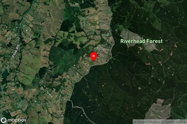
Helensville Satellite Map

Full Address
Helensville, Rodney, AucklandHelensville Coordinates
-36.723632,174.547058 (Latitude / Longitude)Helensville Map in NZ

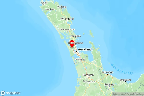
NZ Island
North IslandCountry
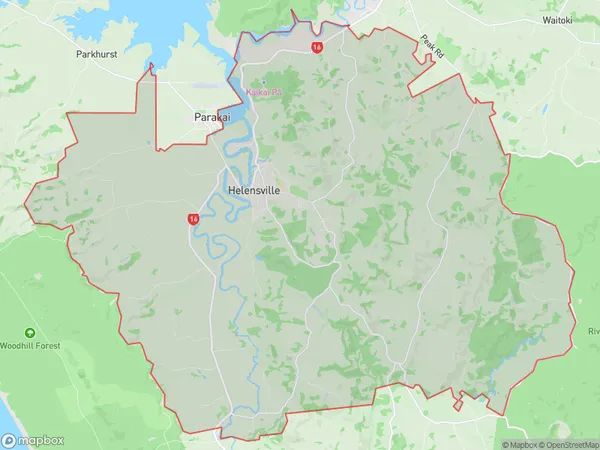
Helensville Area Map (Polygon)

Name
HelensvilleAdditional Name
Loch Norrie, Punganui, Te Pua, Wharepapa, WoodhillLocal Authority
Auckland
Helensville Suburbs (Sort by Population)
Helensville
Helensville - 6986Parakai
Parakai - 1365
