Helensville Area, Helensville Postcode(0800) & Map in Helensville
Helensville Area, Helensville Postcode(0800) & Map in Helensville, Auckland, New Zealand
Helensville, Auckland, New Zealand
Helensville Area (estimated)
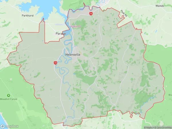
158.6 square kilometersHelensville Population (estimated)
6986 people live in Helensville, Rodney, NZHelensville Suburb Area Map (Polygon)
Helensville Introduction
Helensville is a suburban town in Auckland, New Zealand, located in the North Shore District. It is known for its rural atmosphere, scenic views, and popular outdoor activities such as hiking, cycling, and fishing. The town has a population of around 10,000 people and is situated between the Waitakere Ranges to the west and the Huia River to the east.Region
Major City
Suburb Name
HelensvilleOther Name(s)
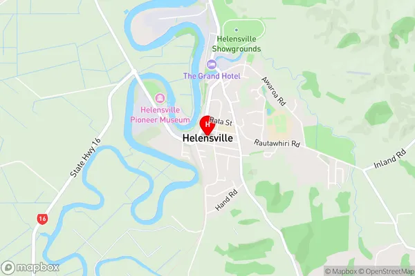
Loch Norrie, Punganui, Te Pua, Wharepapa, WoodhillHelensville Area Map (Street)
Local Authority
AucklandFull Address
Helensville, Auckland, New ZealandAddress Type
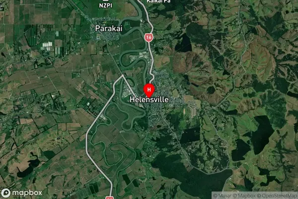
Suburb in Town HelensvilleHelensville Suburb Map (Satellite)
Country
Main Region in AU
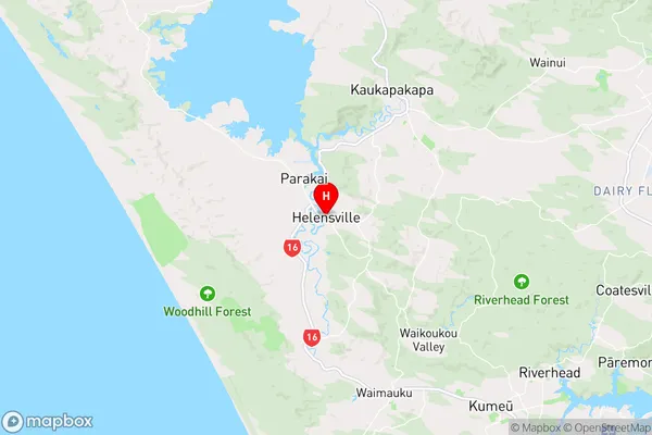
AucklandHelensville Region Map
Coordinates
-36.6799207,174.4505396 (latitude/longitude)Distances
The distance from Helensville, Helensville, Auckland to NZ Top 10 Cities