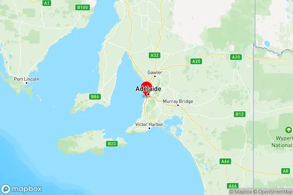
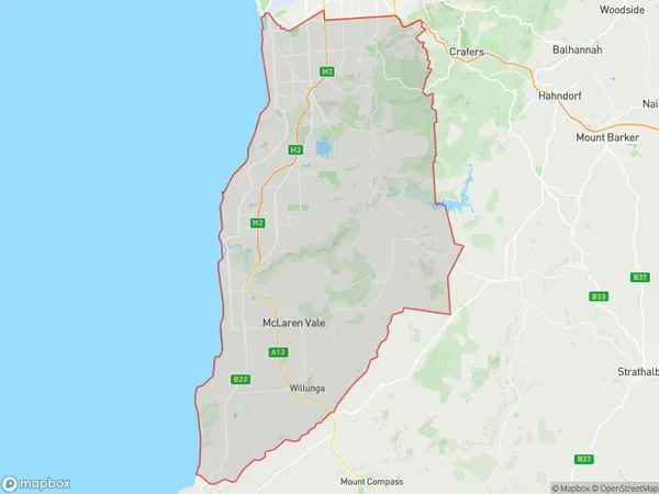
Adelaide South Suburbs & Region, Adelaide South Map & Postcodes
Adelaide South Suburbs & Region, Adelaide South Map & Postcodes in Adelaide South, SA, AU
Adelaide South Region
Region Name
Adelaide South (SA, AU)Adelaide South Area
663.08 square kilometers (663.08 ㎢)Postal Codes
5039, from 5041 to 5044, from 5046 to 5052, 5062, 5064, 5150, 5152, 5156, from 5158 to 5171, and 5173 (In total, there are 32 postcodes in Adelaide South.)Adelaide South Introduction
Adelaide South is a suburb of Adelaide, South Australia, located in the City of Charles Sturt. It is bordered by the suburbs of Marion, Morphett Vale, and Seaford. The suburb is known for its large population and diverse culture. It has a number of parks and recreational facilities, including the Marion Shopping Centre and the Seaford Community Centre. Adelaide South is also home to a number of major industries, including food processing, manufacturing, and logistics. The suburb is well-connected to the rest of Adelaide via public transport, with the Marion train station and the Seaford bus terminal located within the suburb.Australia State
City or Big Region
Adelaide South Region Map

Adelaide South Postcodes / Zip Codes
Adelaide South Suburbs
Holdfast Bay
Onkaparinga
Adelaide South full address
Adelaide South, South Australia, SA, Australia, SaCode: 403Country
Adelaide South, South Australia, SA, Australia, SaCode: 403
Adelaide South Suburbs & Region, Adelaide South Map & Postcodes has 4 areas or regions above, and there are 119 Adelaide South suburbs below. The sa4code for the Adelaide South region is 403. Its latitude and longitude coordinates are -34.9883,138.559.
Adelaide South Suburbs & Localities
1. Crafers West
2. Upper Sturt
3. Glen Osmond
4. Leawood Gardens
5. Brighton
6. Kingston Park
7. Somerton Park
8. Edwardstown
9. Ascot Park
10. Hallett Cove
11. Seacombe Heights
12. Tonsley
13. Oaklands Park
14. Brown Hill Creek
15. Belair
16. Bellevue Heights
17. Blackwood
18. Colonel Light Gardens
19. Aberfoyle Park
20. Aldinga Beach
21. Christie Downs
22. Noarlunga Centre
23. Christies Beach North
24. Port Noarlunga
25. Osullivan Beach
26. Onkaparinga Hills
27. Port Stanvac
28. Mclaren Flat
29. Seaford Heights
30. Woodcroft
31. Reynella
32. Maslin Beach
