Bellevue Heights Area, Bellevue Heights Postcode(5050) & Map in Bellevue Heights, Adelaide - South, SA
Bellevue Heights Area, Bellevue Heights Postcode(5050) & Map in Bellevue Heights, Adelaide - South, SA, AU, Postcode: 5050
Bellevue Heights, Bellevue Heights, Mitcham, Adelaide - South, South Australia, Australia, 5050
Bellevue Heights Postcode
Area Name
Bellevue HeightsBellevue Heights Suburb Area Map (Polygon)

Bellevue Heights Introduction
Bellevue Heights is a suburb of Adelaide, South Australia, located approximately 10 km from the city center. It is known for its tree-lined streets, spacious homes, and excellent schools. The suburb has a population of around 10,000 people and is home to a variety of amenities, including parks, shops, and restaurants.State Name
City or Big Region
District or Regional Area
Suburb Name
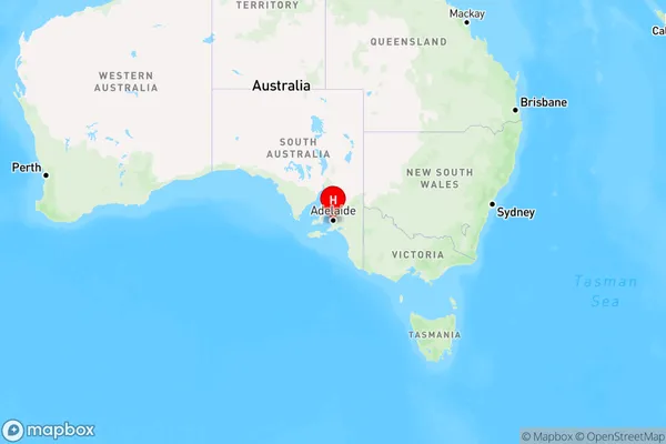
Bellevue Heights Region Map
Country
Main Region in AU
R2Coordinates
-35.033,138.587 (latitude/longitude)Bellevue Heights Area Map (Street)
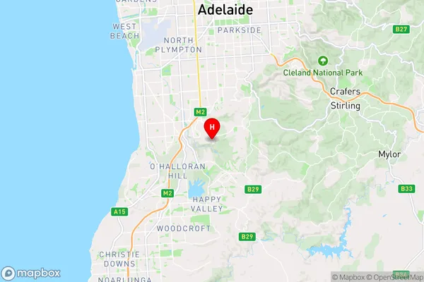
Longitude
138.601272Latitude
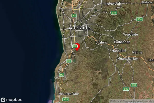
-35.026307Bellevue Heights Elevation
about 233.76 meters height above sea level (Altitude)Bellevue Heights Suburb Map (Satellite)
Distances
The distance from Bellevue Heights, Adelaide - South, SA to AU Greater Capital CitiesSA1 Code 2011
40303106616SA1 Code 2016
40303106616SA2 Code
403031066SA3 Code
40303SA4 Code
403RA 2011
1RA 2016
1MMM 2015
1MMM 2019
1Charge Zone
S1LGA Region
MitchamLGA Code
44340Electorate
Boothby