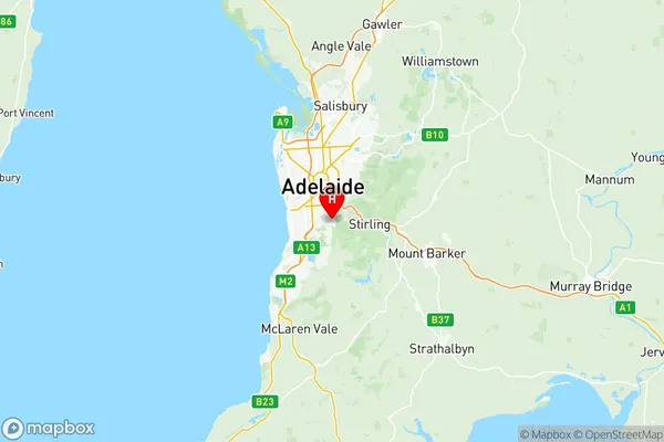
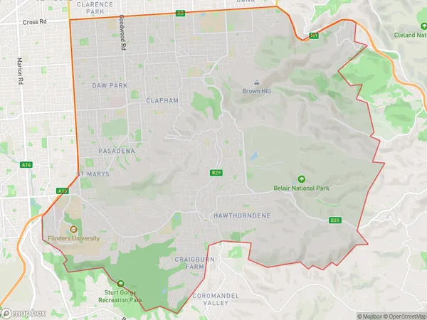
Mitcham Suburbs & Region, Mitcham Map & Postcodes
Mitcham Suburbs & Region, Mitcham Map & Postcodes in Mitcham, Adelaide South, SA, AU
Mitcham Region
Region Name
Mitcham (SA, AU)Mitcham Area
74.37 square kilometers (74.37 ㎢)Postal Codes
5039, 5041, 5050, 5052, 5062, 5064, 5150, 5152, and 5156 (In total, there are 9 postcodes in Mitcham.)Mitcham Introduction
Mitcham is a suburb of Adelaide in South Australia. It is located in the City of Mitcham and is 7 kilometers southeast of the Adelaide CBD. Mitcham is known for its leafy streets, parks, and well-maintained homes. It has a population of around 30,000 people and is home to a diverse range of cultures and backgrounds. The suburb has several shopping centers, including Mitcham Square and Eastland Shopping Centre, as well as a variety of restaurants and cafes. Mitcham also has several schools, including Mitcham Primary School and Mitcham High School. The suburb is well-connected to public transport, with several bus routes and the Eastlink freeway nearby. Mitcham is a popular suburb for families and professionals alike, with its quiet and peaceful atmosphere and convenient location.Australia State
City or Big Region
District or Regional Area
Mitcham Region Map

Mitcham Postcodes / Zip Codes
Mitcham Suburbs
Uraidla Summertown
Unley Parkside
Bellevue Heights
Colonel Light Gardens
Mitcham full address
Mitcham, Adelaide South, South Australia, SA, Australia, SaCode: 40303Country
Mitcham, Adelaide South, South Australia, SA, Australia, SaCode: 40303
Mitcham Suburbs & Region, Mitcham Map & Postcodes has 7 areas or regions above, and there are 38 Mitcham suburbs below. The sa3code for the Mitcham region is 40303. Its latitude and longitude coordinates are -34.9981,138.623.
Mitcham Suburbs & Localities
1. Clarence Gardens
2. Glenalta
3. Brown Hill Creek
4. Kingswood
5. Mitcham Shopping Centre
6. Torrens Park
7. Glen Osmond
8. Mount Osmond
9. Edwardstown
10. Panorama
11. Bellevue Heights
12. Hawthorn
13. Lower Mitcham
14. Lynton
15. Springfield
16. Glenunga
17. Melrose Park Dc
18. Colonel Light Gardens
19. Daw Park
20. Westbourne Park
21. Melrose Park
22. Cumberland Park
23. Eden Hills
24. Clapham
25. Myrtle Bank
26. Belair
27. Mitcham
28. Netherby
29. St Georges
30. Urrbrae
31. Crafers West
32. Leawood Gardens
33. Mount Lofty
34. Crafers
35. Stirling
36. Upper Sturt
37. Eagle On The Hill
38. Cleland
