Daw Park Area, Daw Park Postcode(5041) & Map in Daw Park, Adelaide - South, SA
Daw Park Area, Daw Park Postcode(5041) & Map in Daw Park, Adelaide - South, SA, AU, Postcode: 5041
Daw Park, Colonel Light Gardens, Mitcham, Adelaide - South, South Australia, Australia, 5041
Daw Park Postcode
Area Name
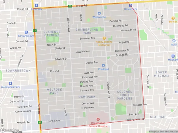
Daw ParkDaw Park Suburb Area Map (Polygon)

Daw Park Introduction
Daw Park is a historic park located in the western suburbs of Adelaide, South Australia. It was established in 1860 and is named after Sir George Dawes, who was the Governor of South Australia from 1858 to 1861. The park is home to a variety of trees, including some rare and endangered species, and is a popular spot for picnics, walking, and cycling. It also has a playground, a cricket ground, and a tennis court.State Name
City or Big Region
District or Regional Area
Suburb Name
Daw Park Region Map

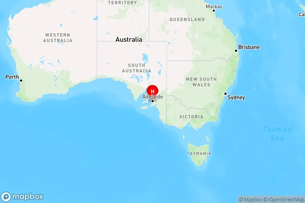
Country
Main Region in AU
R2Coordinates
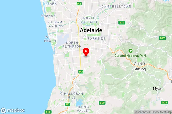
-34.981,138.588 (latitude/longitude)Daw Park Area Map (Street)

Longitude
138.594176Latitude
-35.00298Daw Park Elevation
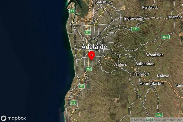
about 97.65 meters height above sea level (Altitude)Daw Park Suburb Map (Satellite)

Distances
The distance from Daw Park, Adelaide - South, SA to AU Greater Capital CitiesSA1 Code 2011
40303106809SA1 Code 2016
40303106809SA2 Code
403031068SA3 Code
40303SA4 Code
403RA 2011
1RA 2016
1MMM 2015
1MMM 2019
1Charge Zone
S1LGA Region
MitchamLGA Code
44340Electorate
Boothby