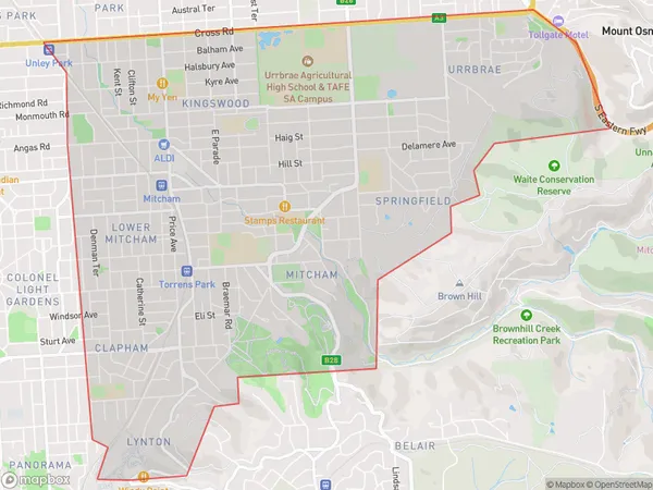
Clapham Area, Clapham Postcode(5062) & Map in Clapham, Adelaide - South, SA
Clapham Area, Clapham Postcode(5062) & Map in Clapham, Adelaide - South, SA, AU, Postcode: 5062
Clapham, Mitcham (SA), Mitcham, Adelaide - South, South Australia, Australia, 5062
Clapham Postcode
Area Name
ClaphamClapham Suburb Area Map (Polygon)
Clapham Introduction
Clapham is a suburb of Adelaide, South Australia, located 4 km south of the city center. It is known for its parks, gardens, and historic buildings, including the Clapham Institute and the Clapham Church. The suburb has a population of approximately 10,000 people and is a popular residential area for families and professionals.State Name
City or Big Region
District or Regional Area
Suburb Name
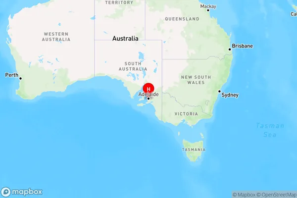
Clapham Region Map
Country
Main Region in AU
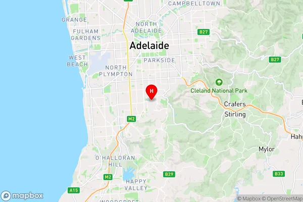
R2Coordinates
-34.99,138.603 (latitude/longitude)Clapham Area Map (Street)
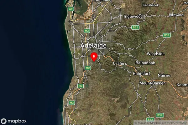
Longitude
138.602387Latitude
-35.004063Clapham Suburb Map (Satellite)
Distances
The distance from Clapham, Adelaide - South, SA to AU Greater Capital CitiesSA1 Code 2011
40303106920SA1 Code 2016
40303106920SA2 Code
403031069SA3 Code
40303SA4 Code
403RA 2011
1RA 2016
1MMM 2015
1MMM 2019
1Charge Zone
S1LGA Region
MitchamLGA Code
44340Electorate
Boothby