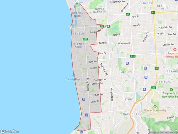
Holdfast Bay Suburbs & Region, Holdfast Bay Map & Postcodes
Holdfast Bay Suburbs & Region, Holdfast Bay Map & Postcodes in Holdfast Bay, Adelaide South, SA, AU
Holdfast Bay Region
Region Name
Holdfast Bay (SA, AU)Holdfast Bay Area
13.14 square kilometers (13.14 ㎢)Holdfast Bay Introduction
Holdfast Bay is a suburb of Adelaide in South Australia. It is located in the City of Charles Sturt and is bordered by the Gulf St Vincent and the Marion Coastal Park. The suburb has a population of around 10,000 people and is known for its beautiful beaches, parks, and recreational facilities. Holdfast Bay is also home to a number of popular restaurants and cafes, as well as a shopping center and a medical center. The suburb is well-connected to the rest of Adelaide via public transport, with several bus routes and a train station located within walking distance.Australia State
City or Big Region
Greater Capital City
Greater Adelaide (4GADE)District or Regional Area
Holdfast Bay Suburbs
Holdfast Bay full address
Holdfast Bay, Adelaide South, South Australia, SA, Australia, SaCode: 40301Country
Holdfast Bay, Adelaide South, South Australia, SA, Australia, SaCode: 40301
Holdfast Bay Suburbs & Region, Holdfast Bay Map & Postcodes has 0 areas or regions above, and there are 0 Holdfast Bay suburbs below. The sa3code for the Holdfast Bay region is 40301. Holdfast Bay area belongs to Australia's greater capital city Greater Adelaide.
