Oaklands Park Area, Oaklands Park Postcode(5046) & Map in Oaklands Park, Adelaide - South, SA
Oaklands Park Area, Oaklands Park Postcode(5046) & Map in Oaklands Park, Adelaide - South, SA, AU, Postcode: 5046
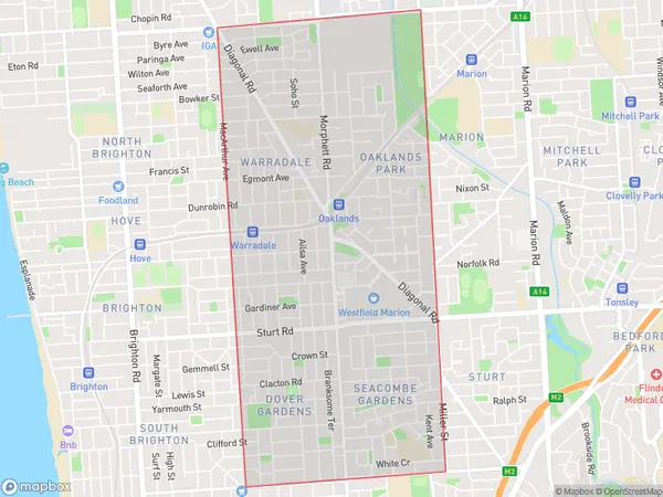
Oaklands Park, Warradale, Marion, Adelaide - South, South Australia, Australia, 5046
Oaklands Park Postcode
Area Name
Oaklands ParkOaklands Park Suburb Area Map (Polygon)
Oaklands Park Introduction
Oaklands Park is a suburb of Adelaide, South Australia, Australia. It is located 10 km south-west of the Adelaide city center and is home to the Adelaide Football Club's AFL team, the Adelaide Crows. The suburb is known for its parks, gardens, and recreational facilities, including the Oaklands Park Golf Course.State Name
City or Big Region
District or Regional Area
Suburb Name
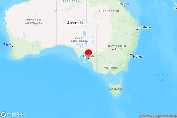
Oaklands Park Region Map
Country
Main Region in AU
R2Coordinates
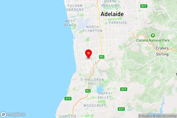
-35.014,138.545 (latitude/longitude)Oaklands Park Area Map (Street)
Longitude
138.535434Latitude
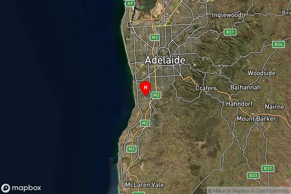
-35.003794Oaklands Park Suburb Map (Satellite)
Distances
The distance from Oaklands Park, Adelaide - South, SA to AU Greater Capital CitiesSA1 Code 2011
40302106433SA1 Code 2016
40302106433SA2 Code
403021064SA3 Code
40302SA4 Code
403RA 2011
1RA 2016
1MMM 2015
1MMM 2019
1Charge Zone
S1LGA Region
Holdfast BayLGA Code
42600Electorate
Boothby