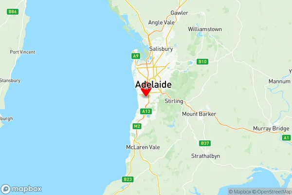
Marion Suburbs & Region, Marion Map & Postcodes
Marion Suburbs & Region, Marion Map & Postcodes in Marion, Adelaide South, SA, AU
Marion Region
Region Name
Marion (SA, AU)Marion Area
56.2 square kilometers (56.2 ㎢)Marion Introduction
Marion is a suburb of Adelaide in South Australia. It is located in the City of Marion and is about 6 kilometers southeast of the Adelaide central business district. The suburb was named after Marion, the wife of Sir John Hindmarsh, who was the first governor of South Australia. Marion is home to a variety of shops, restaurants, and parks, including the Marion Shopping Centre and the Marion Sports Complex. The suburb is also well-connected to public transport, with several bus routes and the Marion train station located within walking distance.Australia State
City or Big Region
District or Regional Area
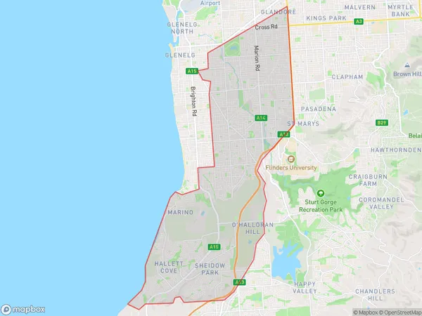
Marion Region Map

Marion Suburbs
Marino Seaview Downs
Marion full address
Marion, Adelaide South, South Australia, SA, Australia, SaCode: 40302Country
Marion, Adelaide South, South Australia, SA, Australia, SaCode: 40302
Marion Suburbs & Region, Marion Map & Postcodes has 5 areas or regions above, and there are 0 Marion suburbs below. The sa3code for the Marion region is 40302. Its latitude and longitude coordinates are -34.9883,138.559.
