Brighton Area, Brighton Postcode(5048) & Map in Brighton, Adelaide - South, SA
Brighton Area, Brighton Postcode(5048) & Map in Brighton, Adelaide - South, SA, AU, Postcode: 5048
Brighton, Brighton (SA), Holdfast Bay, Adelaide - South, South Australia, Australia, 5048
Brighton Postcode
Area Name
BrightonBrighton Suburb Area Map (Polygon)
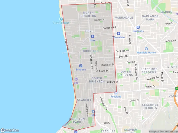
Brighton Introduction
Brighton, Adelaide - South, SA, AU is a suburb of Adelaide, South Australia, Australia. It is located 12 km south-west of the Adelaide city center and is part of the City of Marion. Brighton is known for its beaches, parks, and shopping centers.State Name
City or Big Region
District or Regional Area
Suburb Name
Brighton Region Map
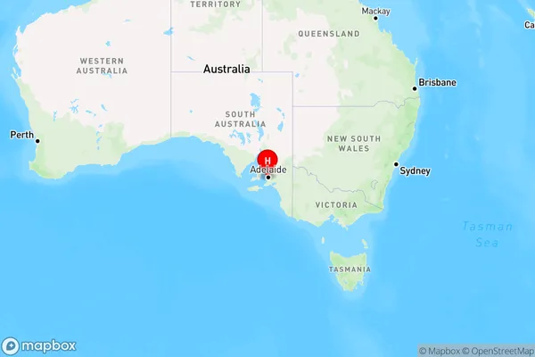
Country
Main Region in AU
R2Coordinates
-35.019,138.52 (latitude/longitude)Brighton Area Map (Street)
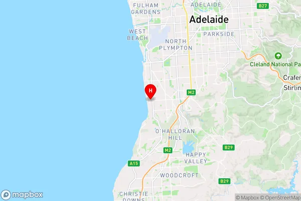
Longitude
138.520459Latitude
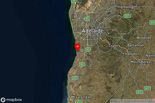
-35.017416Brighton Suburb Map (Satellite)
Distances
The distance from Brighton, Adelaide - South, SA to AU Greater Capital CitiesSA1 Code 2011
40301105611SA1 Code 2016
40301105611SA2 Code
403011056SA3 Code
40301SA4 Code
403RA 2011
1RA 2016
1MMM 2015
1MMM 2019
1Charge Zone
S1LGA Region
Holdfast BayLGA Code
42600Electorate
Boothby