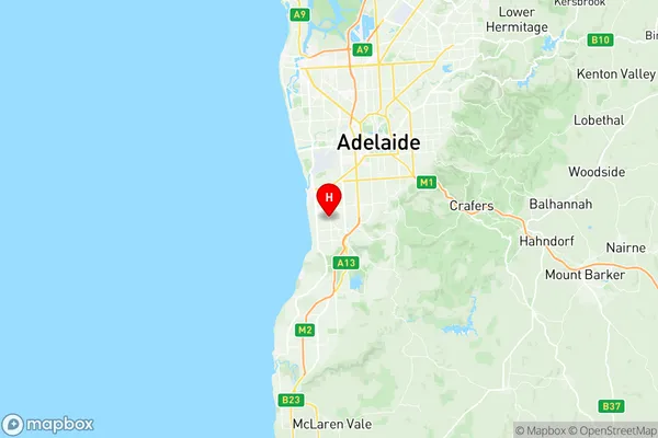
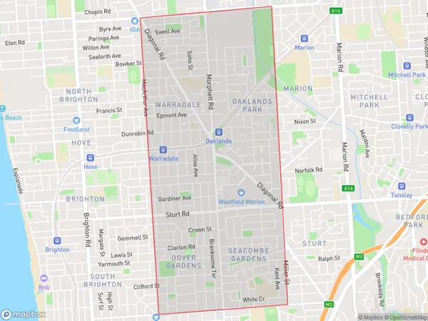
Warradale Suburbs & Region, Warradale Map & Postcodes
Warradale Suburbs & Region, Warradale Map & Postcodes in Warradale, Onkaparinga, Adelaide South, SA, AU
Warradale Region
Region Name
Warradale (SA, AU)Warradale Area
6.01 square kilometers (6.01 ㎢)Postal Codes
from 5046 to 5048 (In total, there are 3 postcodes in Warradale.)Warradale Introduction
Warradale is a suburb of Adelaide, South Australia, located in the City of Charles Sturt. It is situated approximately 10 kilometers south of the Adelaide central business district and is bordered by the suburbs of Marion, Morphett Vale, and Reynella. Warradale is known for its historic homes and gardens, including the Warradale Homestead and Gardens, which is a heritage-listed site. The suburb also has a variety of shopping centers, including the Warradale Shopping Centre and the Warradale Plaza. Warradale is a popular residential area with a mix of older and newer homes, and it is well-serviced by public transport, including buses and trains.Australia State
City or Big Region
Greater Capital City
Greater Adelaide (4GADE)District or Regional Area
Suburb Name
Warradale Region Map

Warradale Postcodes / Zip Codes
Warradale Suburbs
Warradale full address
Warradale, Onkaparinga, Adelaide South, South Australia, SA, Australia, SaCode: 403021064Country
Warradale, Onkaparinga, Adelaide South, South Australia, SA, Australia, SaCode: 403021064
Warradale Suburbs & Region, Warradale Map & Postcodes has 0 areas or regions above, and there are 5 Warradale suburbs below. The sa2code for the Warradale region is 403021064. Its latitude and longitude coordinates are -35.007,138.538. Warradale area belongs to Australia's greater capital city Greater Adelaide.
Warradale Suburbs & Localities
1. Oaklands Park
2. Warradale
3. Dover Gardens
4. Warradale North
5. Seacombe Gardens
