Aldinga Area, Aldinga Postcode(5173) & Map in Aldinga, Adelaide - South, SA
Aldinga Area, Aldinga Postcode(5173) & Map in Aldinga, Adelaide - South, SA, AU, Postcode: 5173
Aldinga, Aldinga, Onkaparinga, Adelaide - South, South Australia, Australia, 5173
Aldinga Postcode
Area Name
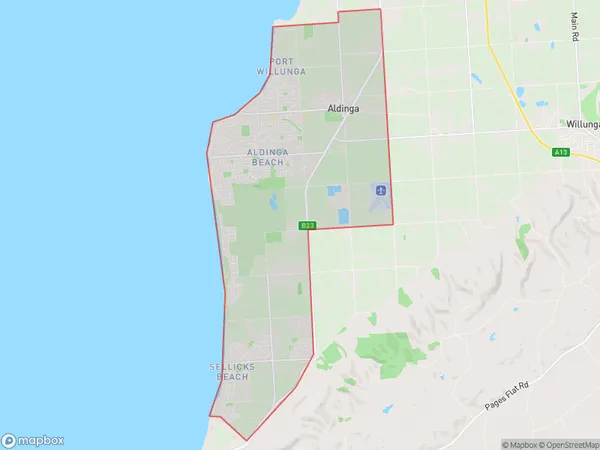
AldingaAldinga Suburb Area Map (Polygon)
Aldinga Introduction
Aldinga is a suburb of Adelaide, South Australia, located 35 km south of the city center. It is known for its beaches, including Maslin Beach, and its wine region, McLaren Vale. Aldinga has a population of approximately 11,000 people.State Name
City or Big Region
District or Regional Area
Suburb Name
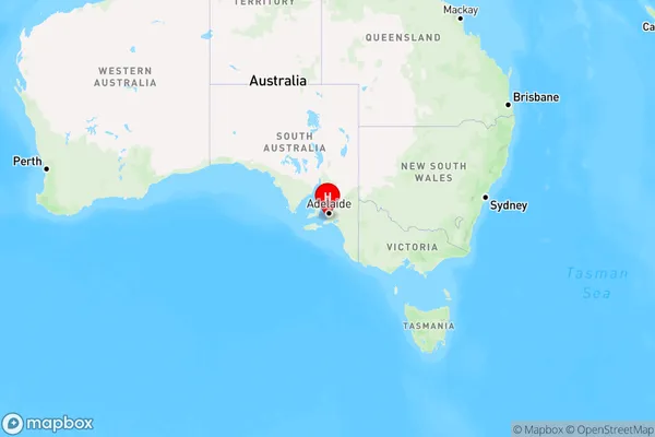
Aldinga Region Map
Country
Main Region in AU
R2Coordinates
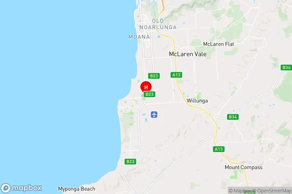
-35.267,138.483 (latitude/longitude)Aldinga Area Map (Street)
Longitude
138.470002Latitude
-35.290568Aldinga Elevation
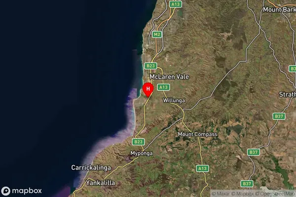
about 17.04 meters height above sea level (Altitude)Aldinga Suburb Map (Satellite)
Distances
The distance from Aldinga, Adelaide - South, SA to AU Greater Capital CitiesSA1 Code 2011
40304107210SA1 Code 2016
40304107210SA2 Code
403041072SA3 Code
40304SA4 Code
403RA 2011
1RA 2016
1MMM 2015
1MMM 2019
1Charge Zone
S1LGA Region
OnkaparingaLGA Code
45340Electorate
Mayo