Christie Downs Area, Christie Downs Postcode(5164) & Map in Christie Downs, Adelaide - South, SA
Christie Downs Area, Christie Downs Postcode(5164) & Map in Christie Downs, Adelaide - South, SA, AU, Postcode: 5164
Christie Downs, Christie Downs, Onkaparinga, Adelaide - South, South Australia, Australia, 5164
Christie Downs Postcode
Area Name
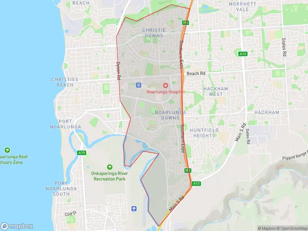
Christie DownsChristie Downs Suburb Area Map (Polygon)
Christie Downs Introduction
Christie Downs is a suburb of Adelaide, South Australia, Australia, located 13 km south-west of the CBD. It is home to a number of schools, including St Agnes Primary School, St John the Baptist School, and St Michael's College. The suburb also has a shopping center, a library, and a community center.State Name
City or Big Region
District or Regional Area
Suburb Name
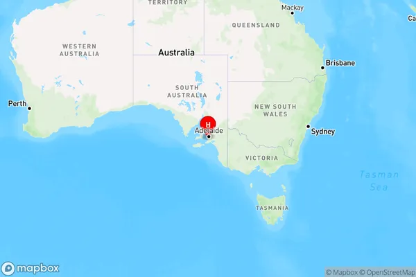
Christie Downs Region Map
Country
Main Region in AU
R2Coordinates
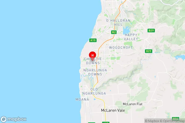
-35.1281692,138.496221 (latitude/longitude)Christie Downs Area Map (Street)
Longitude
138.500365Latitude
-35.124824Christie Downs Elevation
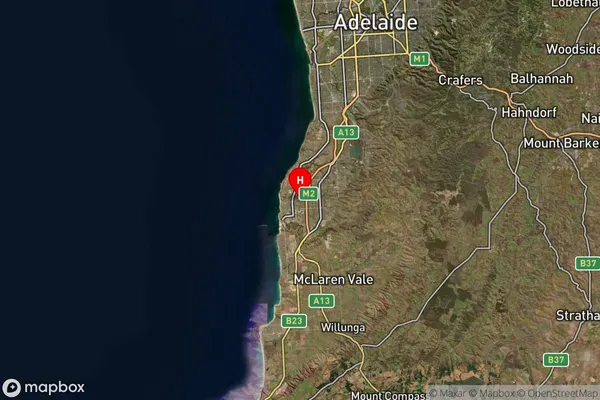
about 69.68 meters height above sea level (Altitude)Christie Downs Suburb Map (Satellite)
Distances
The distance from Christie Downs, Adelaide - South, SA to AU Greater Capital CitiesSA1 Code 2011
40304107318SA1 Code 2016
40304107318SA2 Code
403041073SA3 Code
40304SA4 Code
403RA 2011
1RA 2016
1MMM 2015
1MMM 2019
1Charge Zone
S1LGA Region
OnkaparingaLGA Code
45340Electorate
Kingston