Christie Downs Suburbs & Region, Christie Downs Map & Postcodes
Christie Downs Suburbs & Region, Christie Downs Map & Postcodes in Christie Downs, Onkaparinga, Adelaide South, SA, AU
Christie Downs Region
Region Name
Christie Downs (SA, AU)Christie Downs Area
8.57 square kilometers (8.57 ㎢)Postal Codes
5164, and 5168 (In total, there are 2 postcodes in Christie Downs.)Christie Downs Introduction
Christie Downs is a suburb of Adelaide in South Australia, located in the City of Charles Sturt. It is named after John Christie, a pioneer settler who arrived in the area in 1838. The suburb is located approximately 7 kilometers south of the Adelaide city center and is bordered by the suburbs of Marion, Morphett Vale, and Seaford. Christie Downs has a rich history and was once known for its agricultural industry. The suburb is home to several historic buildings, including the Christie Downs homestead, which is listed on the South Australian Heritage Register. The suburb also has a number of parks and recreational facilities, including the Christie Downs Sports Complex and the Christie Downs Conservation Park. The population of Christie Downs is approximately 4,000 people, with a majority of residents being of European descent. The suburb has a low crime rate and is known for its quiet and peaceful atmosphere. Christie Downs is well-connected to the rest of Adelaide via public transport, with several bus routes and the Seaford railway station located within the suburb. In conclusion, Christie Downs is a suburb of Adelaide with a rich history and a diverse population. It is known for its historic buildings, parks, and recreational facilities and is well-connected to the rest of the city via public transport.Australia State
City or Big Region
Greater Capital City
Greater Adelaide (4GADE)District or Regional Area
Suburb Name
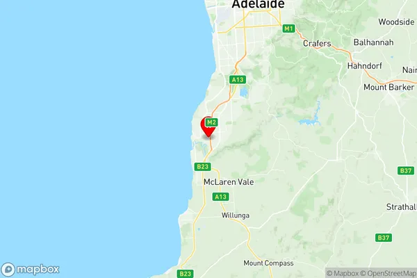
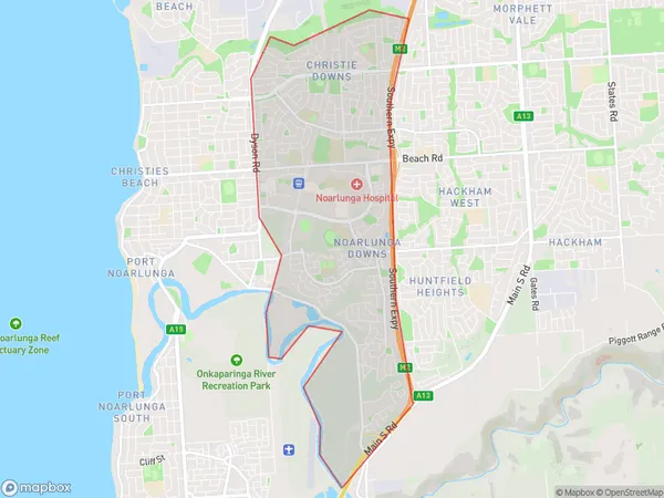
Christie Downs Region Map

Christie Downs Postcodes / Zip Codes
Christie Downs Suburbs
Christie Downs full address
Christie Downs, Onkaparinga, Adelaide South, South Australia, SA, Australia, SaCode: 403041073Country
Christie Downs, Onkaparinga, Adelaide South, South Australia, SA, Australia, SaCode: 403041073
Christie Downs Suburbs & Region, Christie Downs Map & Postcodes has 0 areas or regions above, and there are 3 Christie Downs suburbs below. The sa2code for the Christie Downs region is 403041073. Its latitude and longitude coordinates are -35.148,138.502. Christie Downs area belongs to Australia's greater capital city Greater Adelaide.
Christie Downs Suburbs & Localities
1. Christie Downs
2. Noarlunga Centre
3. Noarlunga Downs
