Blackwood Area, Blackwood Postcode(5051) & Map in Blackwood, Adelaide - South, SA
Blackwood Area, Blackwood Postcode(5051) & Map in Blackwood, Adelaide - South, SA, AU, Postcode: 5051
Blackwood, Blackwood, Mitcham, Adelaide - South, South Australia, Australia, 5051
Blackwood Postcode
Area Name
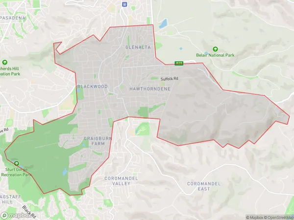
BlackwoodBlackwood Suburb Area Map (Polygon)
Blackwood Introduction
Blackwood is a suburb of Adelaide, South Australia, located 11 km south-east of the city center. It is known for its parks, gardens, and wildlife reserves, including the Blackwood Creek Conservation Park and the Cleland Conservation Park. The suburb has a population of approximately 10,000 people and is home to several schools, including Blackwood High School and Blackwood Primary School.State Name
City or Big Region
District or Regional Area
Suburb Name
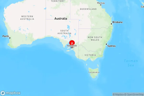
Blackwood Region Map
Country
Main Region in AU
R2Coordinates
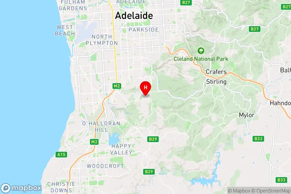
-35.022684,138.6163371 (latitude/longitude)Blackwood Area Map (Street)
Longitude
138.620405Latitude
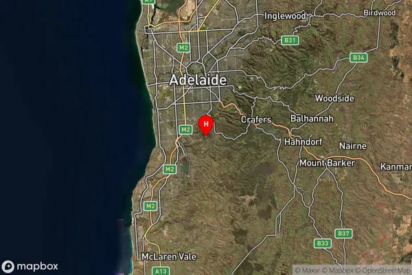
-35.033769Blackwood Suburb Map (Satellite)
Distances
The distance from Blackwood, Adelaide - South, SA to AU Greater Capital CitiesSA1 Code 2011
40303106704SA1 Code 2016
40303106704SA2 Code
403031067SA3 Code
40303SA4 Code
403RA 2011
1RA 2016
1MMM 2015
1MMM 2019
1Charge Zone
S1LGA Region
MitchamLGA Code
44340Electorate
Mayo