Glenelg Southern Grampians Suburbs & Region, Glenelg Southern Grampians Map & Postcodes
Glenelg Southern Grampians Suburbs & Region, Glenelg Southern Grampians Map & Postcodes in Glenelg Southern Grampians, Warrnambool and South West, VIC, AU
Glenelg Southern Grampians Region
Region Name
Glenelg Southern Grampians (VIC, AU)Glenelg Southern Grampians Area
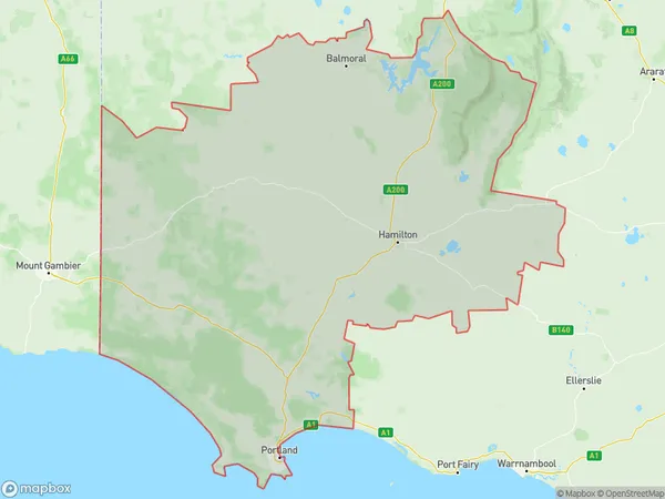
12946 square kilometers (12,946 ㎢)Glenelg Southern Grampians Suburb Area Map (Polygon)
Glenelg Southern Grampians Introduction
Glenelg Southern Grampians, Warrnambool and South West, Victoria, AU, is a region located in the western part of Victoria, Australia. It is known for its stunning natural beauty, including the Glenelg River, the Great Ocean Road, and the Grampians National Park. The region is home to a diverse range of wildlife, including kangaroos, wallabies, and echidnas. It is also a popular tourist destination, with many visitors coming to explore the region's beaches, wineries, and restaurants. The region is also home to several major industries, including agriculture, manufacturing, and tourism.Australia State
City or Big Region
District or Regional Area
Glenelg Southern Grampians Region Map
Glenelg Southern Grampians Suburbs
Glenelg Southern Grampians full address
Glenelg Southern Grampians, Warrnambool and South West, Victoria, VIC, Australia, SaCode: 21701Country
Glenelg Southern Grampians, Warrnambool and South West, Victoria, VIC, Australia, SaCode: 21701
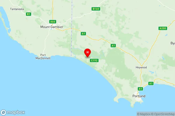
Glenelg Southern Grampians Suburbs & Region, Glenelg Southern Grampians Map & Postcodes has 6 areas or regions above, and there are 0 Glenelg Southern Grampians suburbs below. The sa3code for the Glenelg Southern Grampians region is 21701. Its latitude and longitude coordinates are -38.0625,141.12.