Horsham Suburbs & Region, Horsham Map & Postcodes
Horsham Suburbs & Region, Horsham Map & Postcodes in Horsham, Glenelg Southern Grampians, Warrnambool and South West, VIC, AU
Horsham Region
Region Name
Horsham (VIC, AU)Horsham Area
83.07 square kilometers (83.07 ㎢)Horsham Suburb Area Map (Polygon)

Horsham Introduction
Horsham, Warrnambool and South West, Victoria, AU, is a regional area that includes the cities of Horsham, Warrnambool, and the surrounding rural areas. It is located in the Western District of Victoria and is known for its agriculture, including wheat and sheep farming. The region has a population of around 400,000 people and is home to several major industries, including manufacturing, healthcare, and education. Horsham is the administrative center of the region and is home to the Horsham Art Gallery and the Horsham Aquatic Centre. Warrnambool is the largest city in the region and is known for its vibrant arts and culture scene, including the Warrnambool Art Gallery and the Warrnambool Symphony Orchestra. The region is also home to several popular tourist attractions, including the Great Ocean Road, the Grampians National Park, and the Tower Hill Wildlife Reserve.Australia State
City or Big Region
Greater Capital City
Rest of Vic. (2RVIC)District or Regional Area
Suburb Name
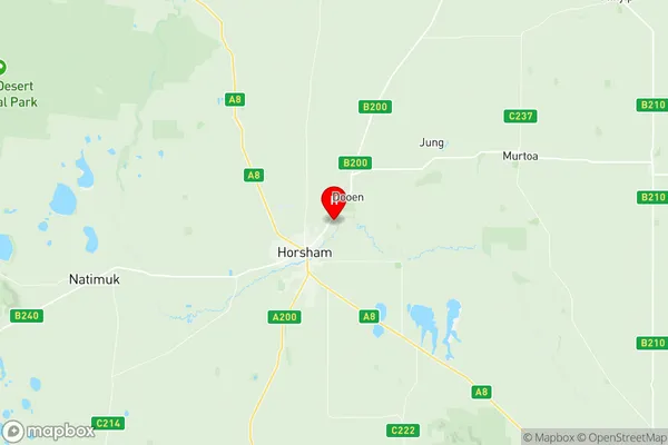
Horsham Region Map
Horsham Suburbs
Horsham full address
Horsham, Glenelg Southern Grampians, Warrnambool and South West, Victoria, VIC, Australia, SaCode: 215011388Country
Horsham, Glenelg Southern Grampians, Warrnambool and South West, Victoria, VIC, Australia, SaCode: 215011388
Horsham Suburbs & Region, Horsham Map & Postcodes has 0 areas or regions above, and there are 0 Horsham suburbs below. The sa2code for the Horsham region is 215011388. Its latitude and longitude coordinates are -36.6853,142.238. Horsham area belongs to Australia's greater capital city Rest of Vic..