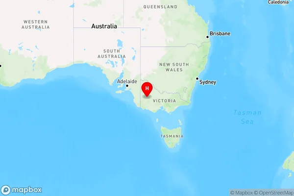
Horsham Area, Horsham Postcode(3400) & Map in Horsham, North West, VIC
Horsham Area, Horsham Postcode(3400) & Map in Horsham, North West, VIC, AU, Postcode: 3400
Horsham, Horsham, Grampians, North West, Victoria, Australia, 3400
Horsham Postcode
Area Name
HorshamHorsham Suburb Area Map (Polygon)

Horsham Introduction
Horsham is a city in the Wimmera region of Victoria, Australia. It is located 216 kilometers north-west of Melbourne and 135 kilometers south-east of the state capital, Bendigo. As of the 2016 census, Horsham had a population of 14,377. The city is known for its agriculture, with many farms and wineries in the surrounding area. It also has a historic downtown area with many buildings from the 19th and 20th centuries.State Name
City or Big Region
District or Regional Area
Suburb Name
Horsham Region Map

Country
Main Region in AU
R3Coordinates
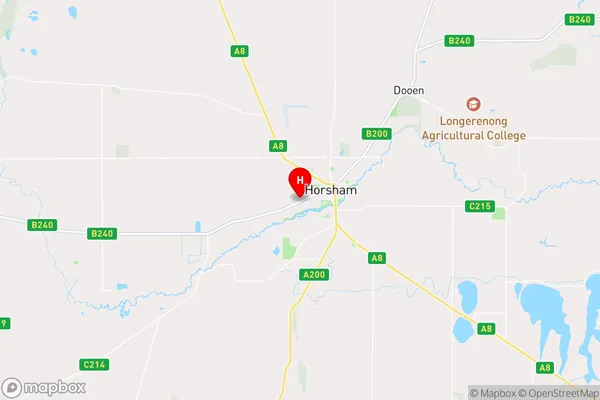
-36.7204107,142.1806128 (latitude/longitude)Horsham Area Map (Street)

Longitude
142.203729Latitude
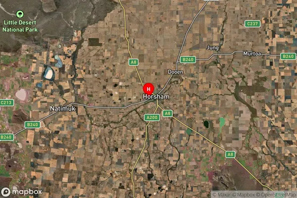
-36.725245Horsham Suburb Map (Satellite)

Distances
The distance from Horsham, North West, VIC to AU Greater Capital CitiesSA1 Code 2011
21501138824SA1 Code 2016
21501138824SA2 Code
215011388SA3 Code
21501SA4 Code
215RA 2011
3RA 2016
3MMM 2015
3MMM 2019
3Charge Zone
V2LGA Region
HorshamLGA Code
23190Electorate
Mallee