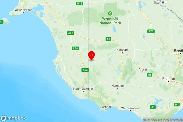
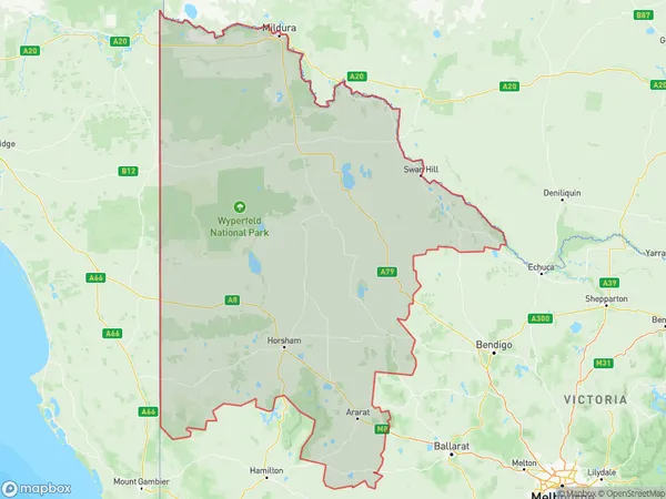
North West Suburbs & Region, North West Map & Postcodes
North West Suburbs & Region, North West Map & Postcodes in North West, VIC, AU
North West Region
Region Name
North West (VIC, AU)North West Area
78073 square kilometers (78,073 ㎢)Postal Codes
2715, 2732, 2734, 2735, 2738, 3319, from 3373 to 3375, 3377, 3378, 3380, 3381, 3384, 3385, 3387, 3388, from 3390 to 3393, 3395, 3396, 3400, 3409, from 3412 to 3415, from 3418 to 3420, 3423, 3424, 3465, 3475, 3477, 3478, 3480, 3482, 3483, 3485, from 3487 to 3489, 3491, 3494, 3496, 3498, from 3500 to 3502, from 3505 to 3507, 3509, 3512, 3518, 3525, 3527, from 3529 to 3531, 3533, 3537, 3540, 3542, 3544, 3546, 3549, 3567, 3568, from 3579 to 3581, from 3583 to 3586, from 3588 to 3591, from 3594 to 3597, and 3599 (In total, there are 88 postcodes in North West.)North West Introduction
North West is a locality in the local government area of the Shire of Buloke, Victoria, Australia. It is located 23 km north-west of the state capital, Melbourne. North West Post Office opened on 1 October 1892 and was closed on 1 March 1974. The North West railway station was opened on 12 October 1891 and closed on 11 September 1993. The North West Primary School opened on 18 November 1892 and closed on 17 February 1993.Australia State
City or Big Region
North West Region Map

North West Postcodes / Zip Codes
North West Suburbs
Grampians
Murray River Swan Hill
North West full address
North West, Victoria, VIC, Australia, SaCode: 215Country
North West, Victoria, VIC, Australia, SaCode: 215
North West Suburbs & Region, North West Map & Postcodes has 3 areas or regions above, and there are 604 North West suburbs below. The sa4code for the North West region is 215. Its latitude and longitude coordinates are -36.9685,141.083.
North West Suburbs & Localities
1. Trentham Cliffs
2. Arumpo
3. Moolpa
4. Paringi
5. Gonn
6. Koraleigh
7. Mallan
8. Yarrunga
9. Eversley
10. Barkly
11. Frenchmans
12. Rathscar
13. Moonambel
14. Redbank
15. Beaufort
16. Middle Creek
17. Archdale
18. Fentons Creek
19. Barraport
20. Buckrabanyule
21. Tatyoon
22. Wonwondah South
23. Arapiles
24. Dadswells Bridge
25. Tarranyurk
26. Jeparit
27. Kenmare
28. Gerang Gerung
29. Albacutya
30. Telopea Downs
31. Kaniva
32. Wallaloo
33. Rich Avon East
34. Winjallok
35. Banyena
36. Great Western
37. Apsley
38. Goroke
39. Minimay
40. Sheep Hills
41. Angip
42. Hopevale
43. Tempy
44. Woomelang
45. Turriff
46. Kewell
47. Brim
48. Lascelles
49. Irymple
50. Nichols Point
51. Merbein
52. Nangiloc
53. Lindsay Point
54. Linga
55. Walpeup
56. Cowangie
57. Patchewollock
58. Carina
59. Mittyack
60. Mildura
61. Curyo
62. Massey
63. Glenloth
64. Nullawil
65. Warne
66. Berriwillock
67. Cokum
68. Springfield
69. Ninyeunook
70. Horfield
71. Gannawarra
72. Budgerum East
73. Koondrook
74. Beauchamp
75. Happy Valley
76. Swan Hill
77. Cocamba
78. Tresco West
79. Woorinen North
80. Vinifera
81. Lake Powell
82. Tresco
83. Beverford
84. Nyah West
85. Boundary Bend
86. Nyah
87. Towan
88. Woorinen South
