Middle Creek Area, Middle Creek Postcode(3375) & Map in Middle Creek, Ballarat, VIC
Middle Creek Area, Middle Creek Postcode(3375) & Map in Middle Creek, Ballarat, VIC, AU, Postcode: 3375
Middle Creek, Beaufort, Maryborough - Pyrenees, Ballarat, Victoria, Australia, 3375
Middle Creek Postcode
Area Name
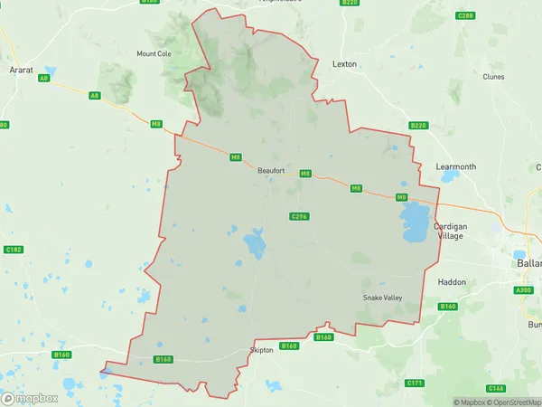
Middle CreekMiddle Creek Suburb Area Map (Polygon)

Middle Creek Introduction
Middle Creek is a locality in the City of Ballarat, Victoria, Australia. It is located in the western part of the city, near the Western Freeway. The area was developed in the late 19th century as a gold mining settlement and has since evolved into a residential suburb. Middle Creek has a variety of housing styles, including single-family homes, apartments, and townhouses. It is known for its peaceful atmosphere, scenic parks, and close proximity to amenities such as shopping centers, schools, and healthcare facilities.State Name
City or Big Region
District or Regional Area
Suburb Name
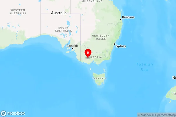
Middle Creek Region Map

Country
Main Region in AU
R3Coordinates
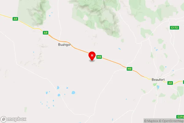
-37.3971343,143.2352199 (latitude/longitude)Middle Creek Area Map (Street)

Longitude
143.143621Latitude
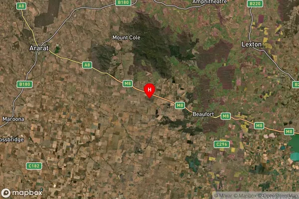
-37.424288Middle Creek Suburb Map (Satellite)

Distances
The distance from Middle Creek, Ballarat, VIC to AU Greater Capital CitiesSA1 Code 2011
20103101404SA1 Code 2016
20103101404SA2 Code
201031014SA3 Code
20103SA4 Code
201RA 2011
2RA 2016
2MMM 2015
5MMM 2019
5Charge Zone
V2LGA Region
PyreneesLGA Code
25990Electorate
Wannon