Nichols Point Area, Nichols Point Postcode(3501) & Map in Nichols Point, North West, VIC
Nichols Point Area, Nichols Point Postcode(3501) & Map in Nichols Point, North West, VIC, AU, Postcode: 3501
Nichols Point, Irymple, Mildura, North West, Victoria, Australia, 3501
Nichols Point Postcode
Area Name
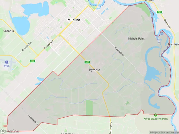
Nichols PointNichols Point Suburb Area Map (Polygon)

Nichols Point Introduction
Nichols Point is a small coastal town in North West Victoria, Australia. It is located on the western shore of Port Phillip Bay and is known for its beautiful beaches, scenic coastline, and tranquil atmosphere. The town has a population of around 200 people and is surrounded by lush green forests and farmland. Nichols Point is a popular destination for tourists and locals alike, with many activities to enjoy, including swimming, fishing, hiking, and kayaking. The town also has a small community center with a library, a community hall, and a convenience store.State Name
City or Big Region
District or Regional Area
Suburb Name
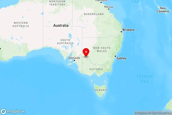
Nichols Point Region Map

Country
Main Region in AU
R3Coordinates
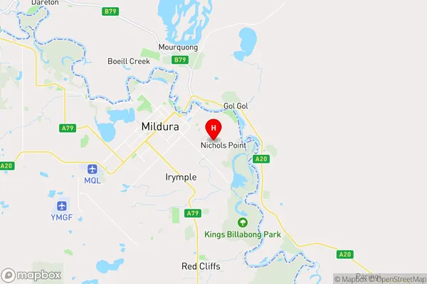
-34.2076592,142.2018502 (latitude/longitude)Nichols Point Area Map (Street)

Longitude
142.100896Latitude
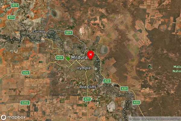
-34.243279Nichols Point Suburb Map (Satellite)

Distances
The distance from Nichols Point, North West, VIC to AU Greater Capital CitiesSA1 Code 2011
21502139510SA1 Code 2016
21502139522SA2 Code
215021395SA3 Code
21502SA4 Code
215RA 2011
3RA 2016
3MMM 2015
3MMM 2019
3Charge Zone
V2LGA Region
MilduraLGA Code
24780Electorate
Mallee