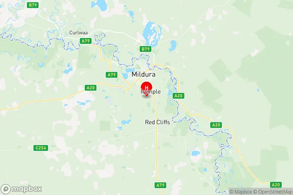
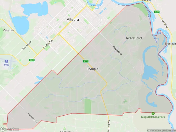
Irymple Suburbs & Region, Irymple Map & Postcodes
Irymple Suburbs & Region, Irymple Map & Postcodes in Irymple, Mildura, North West, VIC, AU
Irymple Region
Region Name
Irymple (VIC, AU)Irymple Area
88.57 square kilometers (88.57 ㎢)Postal Codes
3498, and 3501 (In total, there are 2 postcodes in Irymple.)Irymple Introduction
Irymple is a locality in the local government area of the Shire of Buloke, Victoria, Australia. It is located 21 km north-east of the state capital, Melbourne. The post office opened as Irymple on 1 August 1914 and was closed on 1 March 1975. The name is derived from an Aboriginal word meaning "camp". Irymple is primarily a farming area, with wheat and sheep being the main crops. The town has a primary school, a general store, a post office, and a community hall. The nearest railway station is in Numurkah, and the nearest airport is in Mildura. The Irymple Football Club is a local Australian Rules Football Club that competes in the Buloke Football League. The club was founded in 1927 and has won numerous premierships over the years. Irymple is a quiet and peaceful town with a strong sense of community. It is a popular destination for tourists who enjoy the natural beauty of the surrounding area, including the Murray River and the Mount Macedon Range.Australia State
City or Big Region
Greater Capital City
Rest of Vic. (2RVIC)District or Regional Area
Suburb Name
Irymple Region Map

Irymple Postcodes / Zip Codes
Irymple Suburbs
Irymple full address
Irymple, Mildura, North West, Victoria, VIC, Australia, SaCode: 215021395Country
Irymple, Mildura, North West, Victoria, VIC, Australia, SaCode: 215021395
Irymple Suburbs & Region, Irymple Map & Postcodes has 0 areas or regions above, and there are 2 Irymple suburbs below. The sa2code for the Irymple region is 215021395. Its latitude and longitude coordinates are -34.2495,142.159. Irymple area belongs to Australia's greater capital city Rest of Vic..
Irymple Suburbs & Localities
1. Irymple
2. Nichols Point
