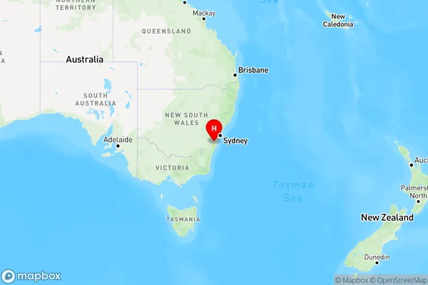
Yarrunga Area, Yarrunga Postcode(3415) & Map in Yarrunga, Southern Highlands and Shoalhaven, VIC
Yarrunga Area, Yarrunga Postcode(3415) & Map in Yarrunga, Southern Highlands and Shoalhaven, VIC, AU, Postcode: 3415
Yarrunga, Robertson - Fitzroy Falls, Southern Highlands, Southern Highlands and Shoalhaven, Victoria, Australia, 3415
Yarrunga Postcode
Area Name
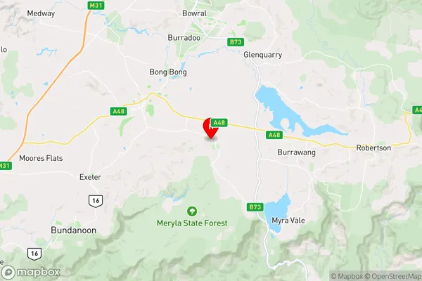
YarrungaYarrunga Suburb Area Map (Polygon)

Yarrunga Introduction
Yarrunga is a locality in the Southern Highlands and Shoalhaven regions of New South Wales, Australia. It is situated in the Wingecarribee Shire and is approximately 55 kilometers south-west of Sydney. The town is named after the Yarrunga River, which flows through it. Yarrunga has a population of around 1,200 people and is known for its scenic countryside and historic buildings. It is also home to a number of wineries and cafes.State Name
City or Big Region
District or Regional Area
Suburb Name
Yarrunga Region Map

Country
Main Region in AU
R3Coordinates
-34.5841,150.434 (latitude/longitude)Yarrunga Area Map (Street)

Longitude
141.339702Latitude
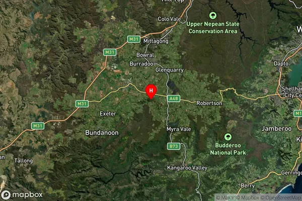
-36.352459Yarrunga Suburb Map (Satellite)

Distances
The distance from Yarrunga, Southern Highlands and Shoalhaven, VIC to AU Greater Capital CitiesSA1 Code 2011
11402128811SA1 Code 2016
11402128811SA2 Code
114021288SA3 Code
11402SA4 Code
114RA 2011
2RA 2016
2MMM 2015
5MMM 2019
5Charge Zone
V2LGA Region
West WimmeraLGA Code
26890Electorate
Mallee