Beauchamp Area, Beauchamp Postcode(3581) & Map in Beauchamp, North West, VIC
Beauchamp Area, Beauchamp Postcode(3581) & Map in Beauchamp, North West, VIC, AU, Postcode: 3581
Beauchamp, Gannawarra, Murray River - Swan Hill, North West, Victoria, Australia, 3581
Beauchamp Postcode
Area Name
BeauchampBeauchamp Suburb Area Map (Polygon)

Beauchamp Introduction
Beauchamp is a small township in North West Victoria, Australia. It is located in the Shire of Buloke, 32 km north-west of the state capital, Melbourne. The post office opened as Beauchamp on 1 October 1891 and was closed on 1 March 1974. The town is named after Sir William Beauchamp, a politician and judge.State Name
City or Big Region
District or Regional Area
Suburb Name
Beauchamp Region Map

Country
Main Region in AU
R3Coordinates
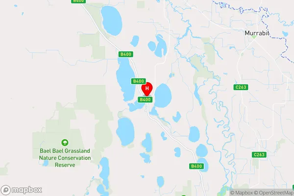
-35.6026,143.802 (latitude/longitude)Beauchamp Area Map (Street)
Longitude
143.78521Latitude
-35.628333Beauchamp Elevation
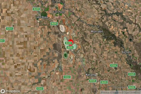
about 78.00 meters height above sea level (Altitude)Beauchamp Suburb Map (Satellite)
Distances
The distance from Beauchamp, North West, VIC to AU Greater Capital CitiesSA1 Code 2011
21503140112SA1 Code 2016
21503140112SA2 Code
215031401SA3 Code
21503SA4 Code
215RA 2011
3RA 2016
3MMM 2015
5MMM 2019
5Charge Zone
V2LGA Region
GannawarraLGA Code
22250Electorate
Mallee