Warrnambool and South West Suburbs & Region, Warrnambool and South West Map & Postcodes
Warrnambool and South West Suburbs & Region, Warrnambool and South West Map & Postcodes in Warrnambool and South West, VIC, AU
Warrnambool and South West Region
Region Name
Warrnambool and South West (VIC, AU)Warrnambool and South West Area
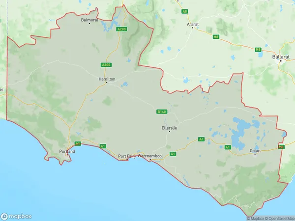
26379 square kilometers (26,379 ㎢)Warrnambool and South West Suburb Area Map (Polygon)
Warrnambool and South West Introduction
Warrnambool and South West is a locality in the City of Warrnambool, Victoria, Australia. It is located 221 km south-west of Melbourne's central business district and covers an area of 106.1 square kilometers. The postcode for Warrnambool and South West is 3280. As of the 2016 census, the locality had a population of 31,952. Warrnambool and South West is known for its agriculture, with the region being a major producer of wheat, sheep, and dairy products. The area also has a number of tourist attractions, including the Warrnambool Botanical Gardens, the Tower Hill Conservation Reserve, and the Great Ocean Road.Australia State
City or Big Region
Warrnambool and South West Region Map
Warrnambool and South West Suburbs
Glenelg Southern Grampians
Warrnambool Otway Ranges
Colac Corangamite
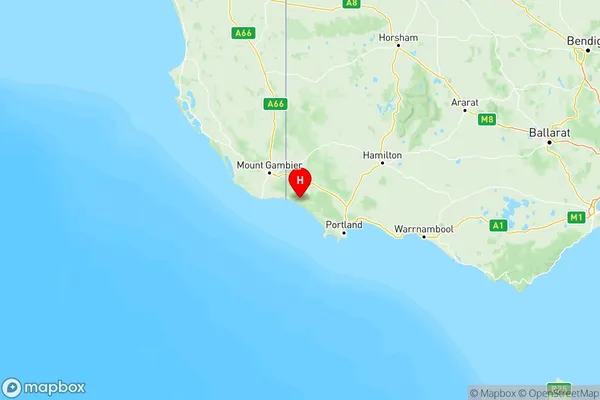
Warrnambool and South West full address
Warrnambool and South West, Victoria, VIC, Australia, SaCode: 217Country
Warrnambool and South West, Victoria, VIC, Australia, SaCode: 217
Warrnambool and South West Suburbs & Region, Warrnambool and South West Map & Postcodes has 4 areas or regions above, and there are 0 Warrnambool and South West suburbs below. The sa4code for the Warrnambool and South West region is 217. Its latitude and longitude coordinates are -38.0625,141.12.