Kirkstall Area, Kirkstall Postcode(3283) & Map in Kirkstall, Warrnambool and South West, VIC
Kirkstall Area, Kirkstall Postcode(3283) & Map in Kirkstall, Warrnambool and South West, VIC, AU, Postcode: 3283
Kirkstall, Moyne - West, Warrnambool, Warrnambool and South West, Victoria, Australia, 3283
Kirkstall Postcode
Area Name
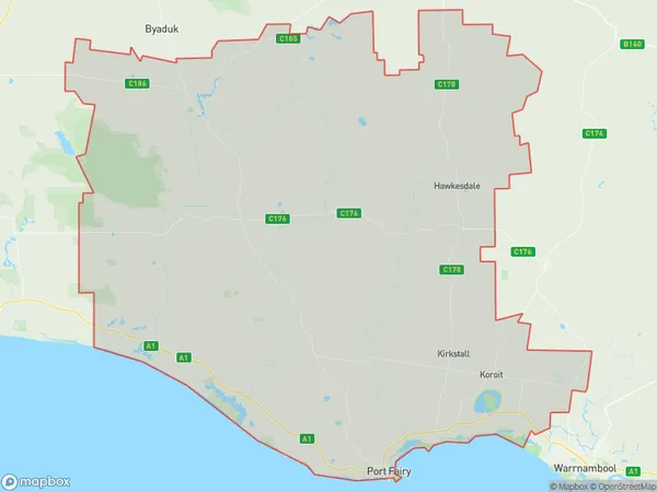
KirkstallKirkstall Suburb Area Map (Polygon)
Kirkstall Introduction
Kirkstall is a suburb of Melbourne, Victoria, Australia. It is located 11 kilometers south-west of Melbourne's central business district. The suburb has a population of around 11,000 people and is known for its historic architecture and beautiful gardens. Kirkstall is also home to a variety of shops, cafes, and restaurants. The suburb is well-connected to public transport, with several bus routes and a train station located within walking distance.State Name
City or Big Region
District or Regional Area
Suburb Name
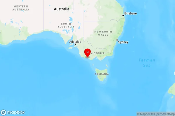
Kirkstall Region Map
Country
Main Region in AU
R3Coordinates
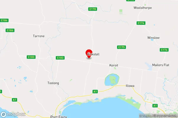
-38.2794244,142.3071773 (latitude/longitude)Kirkstall Area Map (Street)
Longitude
142.328761Latitude
-38.313434Kirkstall Suburb Map (Satellite)

Distances
The distance from Kirkstall, Warrnambool and South West, VIC to AU Greater Capital CitiesSA1 Code 2011
21702143014SA1 Code 2016
21704147813SA2 Code
217041478SA3 Code
21704SA4 Code
217RA 2011
2RA 2016
2MMM 2015
5MMM 2019
5Charge Zone
V2LGA Region
WarrnamboolLGA Code
26730Electorate
Wannon