Moyne West Suburbs & Region, Moyne West Map & Postcodes
Moyne West Suburbs & Region, Moyne West Map & Postcodes in Moyne West, Warrnambool Otway Ranges, Warrnambool and South West, VIC, AU
Moyne West Region
Region Name
Moyne West (VIC, AU)Moyne West Area
2038 square kilometers (2,038 ㎢)Postal Codes
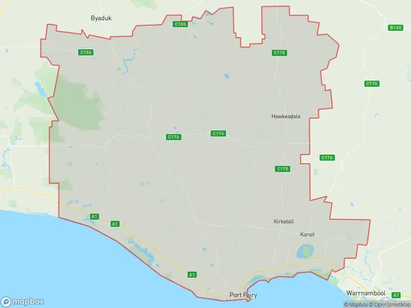
3275, from 3282 to 3287, 3289, 3301, and 3304 (In total, there are 10 postcodes in Moyne West.)Moyne West Suburb Area Map (Polygon)
Moyne West Introduction
Moyne West is a locality in the local government area of the City of Warrnambool, Victoria, Australia. It is located 26 km west of Warrnambool's central business district. The post office opened as Moyne on 1 October 1891 and was closed on 1 March 1971. The present post office opened as Moyne West on 1 July 1975 and was closed on 1 February 1984.Australia State
City or Big Region
Greater Capital City
Rest of Vic. (2RVIC)District or Regional Area
Suburb Name
Moyne West Region Map
Moyne West Postcodes / Zip Codes
Moyne West Suburbs
Moyne West full address
Moyne West, Warrnambool Otway Ranges, Warrnambool and South West, Victoria, VIC, Australia, SaCode: 217041478Country
Moyne West, Warrnambool Otway Ranges, Warrnambool and South West, Victoria, VIC, Australia, SaCode: 217041478
Moyne West Suburbs & Region, Moyne West Map & Postcodes has 0 areas or regions above, and there are 31 Moyne West suburbs below. The sa2code for the Moyne West region is 217041478. Its latitude and longitude coordinates are -38.2902,142.463. Moyne West area belongs to Australia's greater capital city Rest of Vic..
Moyne West Suburbs & Localities
1. Illowa
2. Kirkstall
3. Yangery
4. Orford
5. Rosebrook
6. Mailer Flat
7. Koroit
8. Killarney
9. Tower Hill
10. Warrong
11. Codrington
12. Toolong
13. Tyrendarra East
14. Mailors Flat
15. Southern Cross
16. Tarrone
17. Crossley
18. Willatook
19. Yarpturk
20. Port Fairy
21. St Helens
22. Yambuk
23. Knebsworth
24. Ripponhurst
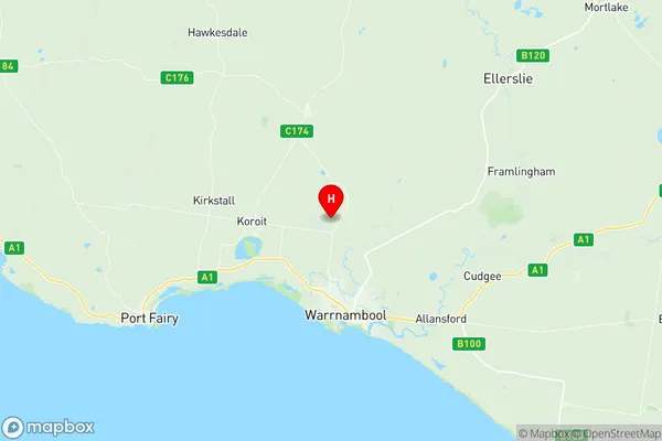
25. Hawkesdale
26. Gerrigerrup
27. Broadwater
28. Macarthur
29. Minhamite
30. Warrabkook
31. Bessiebelle