Mailer Flat Area, Mailer Flat Postcode(3275) & Map in Mailer Flat, Warrnambool and South West, VIC
Mailer Flat Area, Mailer Flat Postcode(3275) & Map in Mailer Flat, Warrnambool and South West, VIC, AU, Postcode: 3275
Mailer Flat, Moyne - West, Warrnambool, Warrnambool and South West, Victoria, Australia, 3275
Mailer Flat Postcode
Area Name
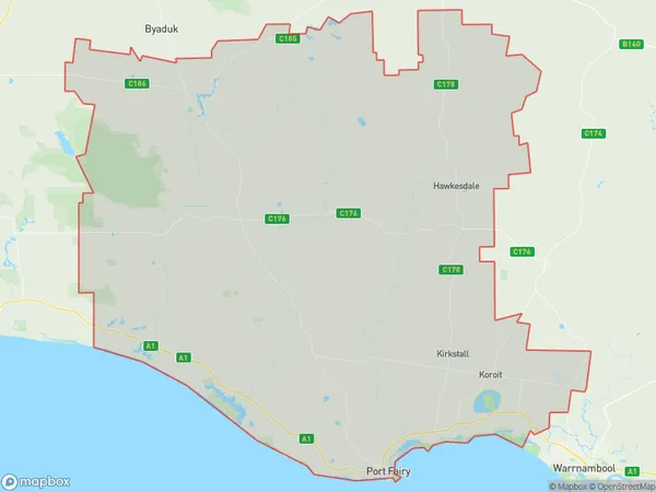
Mailer FlatMailer Flat Suburb Area Map (Polygon)

Mailer Flat Introduction
The 'Mailer Flat' is a historic homestead located in Warrnambool and South West, Victoria, Australia. It is a significant example of the Victorian era and is listed on the Victorian Heritage Register. The homestead was built in the 1850s by John and Ann Mailer and is constructed of bluestone with a timber frame. It features a symmetrical layout with a central hall, bedrooms, and living areas. The property also includes a stable, coach house, and garden. The Mailer Flat is a popular tourist attraction and is used for various events and functions.State Name
City or Big Region
District or Regional Area
Suburb Name
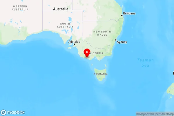
Mailer Flat Region Map

Country
Main Region in AU
R3Coordinates
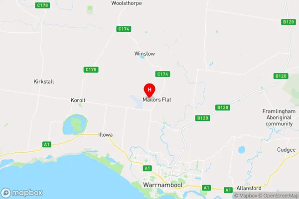
-38.2902,142.463 (latitude/longitude)Mailer Flat Area Map (Street)

Longitude
142.457611Latitude
-38.301794Mailer Flat Elevation
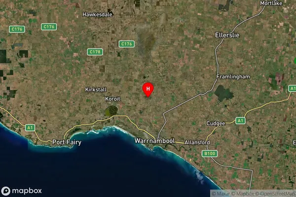
about 64.90 meters height above sea level (Altitude)Mailer Flat Suburb Map (Satellite)

Distances
The distance from Mailer Flat, Warrnambool and South West, VIC to AU Greater Capital CitiesSA1 Code 2011
21702143015SA1 Code 2016
21704147802SA2 Code
217041478SA3 Code
21704SA4 Code
217RA 2011
2RA 2016
2MMM 2015
3MMM 2019
3Charge Zone
V2LGA Region
WarrnamboolLGA Code
26730Electorate
Wannon