Southern Cross Area, Southern Cross Postcode(3283) & Map in Southern Cross, Warrnambool and South West, VIC
Southern Cross Area, Southern Cross Postcode(3283) & Map in Southern Cross, Warrnambool and South West, VIC, AU, Postcode: 3283
Southern Cross, Moyne - West, Warrnambool, Warrnambool and South West, Victoria, Australia, 3283
Southern Cross Postcode
Area Name
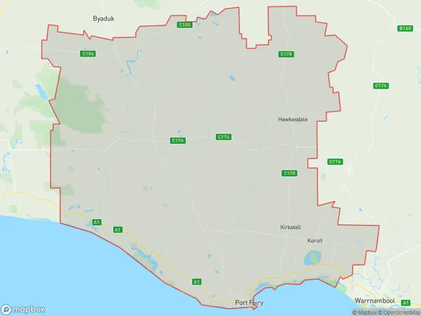
Southern CrossSouthern Cross Suburb Area Map (Polygon)

Southern Cross Introduction
Southern Cross is a railway station located in Warrnambool, Victoria, Australia. It is served by V/Line and West Coast Railway services. The station is located on the Hamilton line and is situated 122.8 kilometers from Melbourne's Central Business District. Southern Cross is an important transport hub for the region, providing access to regional cities and towns such as Ballarat, Bendigo, and Geelong.State Name
City or Big Region
District or Regional Area
Suburb Name
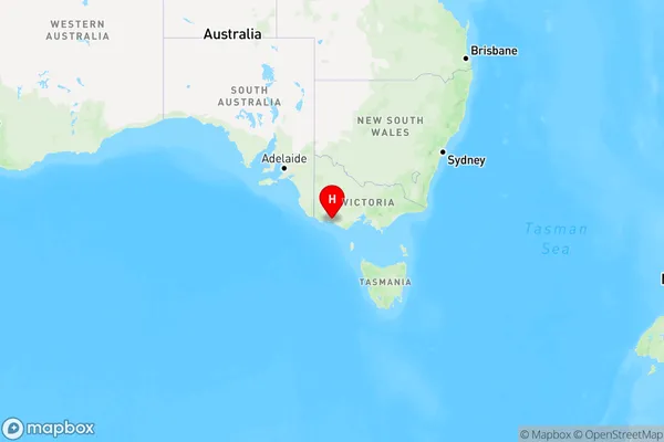
Southern Cross Region Map

Country
Main Region in AU
R3Coordinates
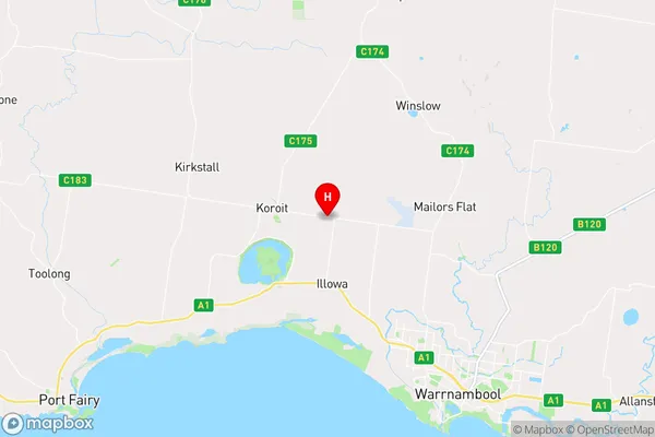
-38.2961052,142.3992869 (latitude/longitude)Southern Cross Area Map (Street)

Longitude
142.328761Latitude
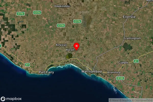
-38.313434Southern Cross Suburb Map (Satellite)

Distances
The distance from Southern Cross, Warrnambool and South West, VIC to AU Greater Capital CitiesSA1 Code 2011
21702143017SA1 Code 2016
21704147827SA2 Code
217041478SA3 Code
21704SA4 Code
217RA 2011
2RA 2016
2MMM 2015
3MMM 2019
3Charge Zone
V2LGA Region
WarrnamboolLGA Code
26730Electorate
Wannon