Knebsworth Area, Knebsworth Postcode(3286) & Map in Knebsworth, Warrnambool and South West, VIC
Knebsworth Area, Knebsworth Postcode(3286) & Map in Knebsworth, Warrnambool and South West, VIC, AU, Postcode: 3286
Knebsworth, Moyne - West, Warrnambool, Warrnambool and South West, Victoria, Australia, 3286
Knebsworth Postcode
Area Name
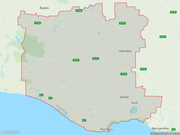
KnebsworthKnebsworth Suburb Area Map (Polygon)

Knebsworth Introduction
Knebsworth is a small town in the Western District of Victoria, Australia. It is located 21 kilometers south-west of Warrnambool and 225 kilometers south-west of Melbourne. The town is named after the Knebworth Estate, which was established in the 1840s by the Harcourt family. The estate was later sold to the Smith family, who developed it into a successful dairy farm. Today, Knebsworth is a popular tourist destination, with many visitors coming to explore the historic buildings and the surrounding countryside.State Name
City or Big Region
District or Regional Area
Suburb Name
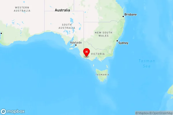
Knebsworth Region Map

Country
Main Region in AU
R3Coordinates
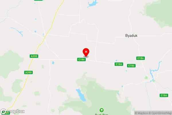
-37.9930783,141.8451677 (latitude/longitude)Knebsworth Area Map (Street)

Longitude
141.963223Latitude
-38.036038Knebsworth Elevation
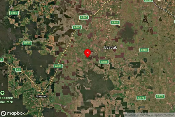
about 114.08 meters height above sea level (Altitude)Knebsworth Suburb Map (Satellite)

Distances
The distance from Knebsworth, Warrnambool and South West, VIC to AU Greater Capital CitiesSA1 Code 2011
21702143008SA1 Code 2016
21704147809SA2 Code
217041478SA3 Code
21704SA4 Code
217RA 2011
3RA 2016
3MMM 2015
5MMM 2019
5Charge Zone
V2LGA Region
MoyneLGA Code
25490Electorate
Wannon