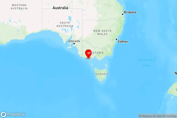
Peterborough Area, Peterborough Postcode(3270) & Map in Peterborough, Warrnambool and South West, VIC
Peterborough Area, Peterborough Postcode(3270) & Map in Peterborough, Warrnambool and South West, VIC, AU, Postcode: 3270
Peterborough, Corangamite - South, Colac - Corangamite, Warrnambool and South West, Victoria, Australia, 3270
Peterborough Postcode
Area Name
PeterboroughPeterborough Suburb Area Map (Polygon)

Peterborough Introduction
Peterborough, Warrnambool, and South West is a federal electoral division in Victoria, Australia. It includes the cities of Peterborough, Warrnambool, and the surrounding areas. The division has a diverse population and is known for its agriculture, manufacturing, and tourism industries. It has been represented by a variety of political parties over the years, with the Labor Party being the dominant force since the 1990s.State Name
City or Big Region
District or Regional Area
Suburb Name
Peterborough Region Map

Country
Main Region in AU
R3Coordinates
-38.5949819,142.8793838 (latitude/longitude)Peterborough Area Map (Street)

Longitude
142.870164Latitude
-38.602117Peterborough Elevation
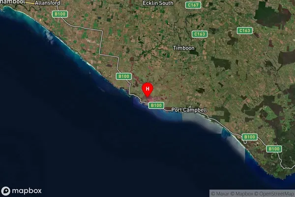
about 8.74 meters height above sea level (Altitude)Peterborough Suburb Map (Satellite)

Distances
The distance from Peterborough, Warrnambool and South West, VIC to AU Greater Capital CitiesSA1 Code 2011
21702142814SA1 Code 2016
21703147503SA2 Code
217031475SA3 Code
21703SA4 Code
217RA 2011
3RA 2016
3MMM 2015
5MMM 2019
5Charge Zone
V2LGA Region
WarrnamboolLGA Code
26730Electorate
Wannon