Berrambool Area, Berrambool Postcode(3379) & Map in Berrambool, Capital Region, VIC
Berrambool Area, Berrambool Postcode(3379) & Map in Berrambool, Capital Region, VIC, AU, Postcode: 3379
Berrambool, Merimbula - Tura Beach, South Coast, Capital Region, Victoria, Australia, 3379
Berrambool Postcode
Area Name
BerramboolBerrambool Suburb Area Map (Polygon)

Berrambool Introduction
Berrambool is a city in the Western District of Victoria, Australia. It is located 211 kilometers west of Melbourne, the state capital. The city has a population of around 20,000 people and is known for its agriculture, particularly wool production. The Berrambool Botanic Gardens is a popular tourist attraction and is home to a diverse range of plant species. The city also has a historic railway station and a number of museums and art galleries.State Name
City or Big Region
District or Regional Area
Suburb Name
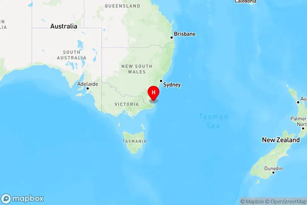
Berrambool Region Map

Country
Main Region in AU
R3Coordinates
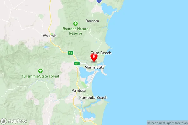
-36.8798,149.909 (latitude/longitude)Berrambool Area Map (Street)

Longitude
142.6833Latitude
-37.7667Berrambool Elevation
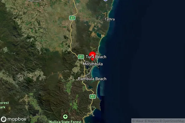
about 253.69 meters height above sea level (Altitude)Berrambool Suburb Map (Satellite)

Distances
The distance from Berrambool, Capital Region, VIC to AU Greater Capital CitiesSA1 Code 2011
10104102526SA1 Code 2016
10104102526SA2 Code
101041025SA3 Code
10104SA4 Code
101RA 2011
3RA 2016
3MMM 2015
4MMM 2019
4Charge Zone
V2LGA Region
AraratLGA Code
20260Electorate
Wannon