Warrnambool Area, Warrnambool Postcode(3280) & Map in Warrnambool, Warrnambool and South West, VIC
Warrnambool Area, Warrnambool Postcode(3280) & Map in Warrnambool, Warrnambool and South West, VIC, AU, Postcode: 3280
Warrnambool, Warrnambool - North, Warrnambool, Warrnambool and South West, Victoria, Australia, 3280
Warrnambool Postcode
Area Name
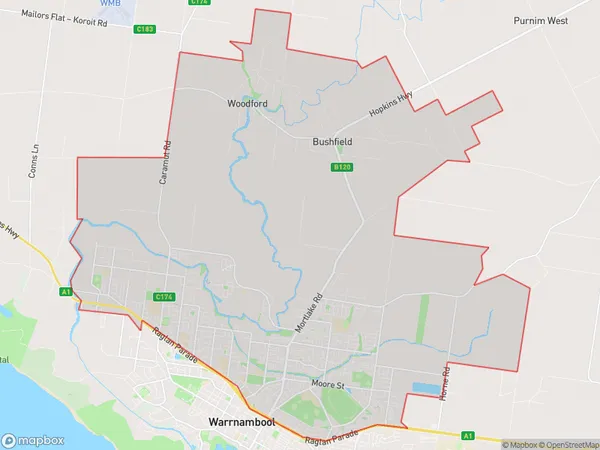
WarrnamboolWarrnambool Suburb Area Map (Polygon)

Warrnambool Introduction
Warrnambool is a city in southwest Victoria, Australia. It is the second-largest city in the Western District and the third-largest in the state of Victoria. The city is located on the Hopkins River and is approximately 325 kilometers southwest of Melbourne. Warrnambool is known for its agriculture, with the region being a major producer of wool, cotton, and dairy products. The city also has a significant manufacturing sector, with a number of factories producing food, beverages, and other products.State Name
City or Big Region
District or Regional Area
Suburb Name
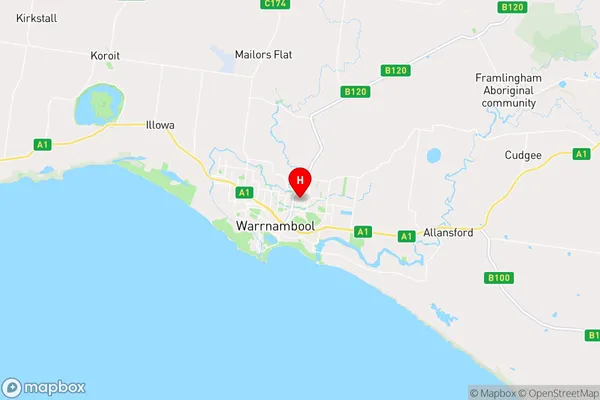
Warrnambool Region Map

Country
Main Region in AU
R3Coordinates
-38.3686779,142.4982086 (latitude/longitude)Warrnambool Area Map (Street)

Longitude
142.482889Latitude
-38.37884Warrnambool Elevation
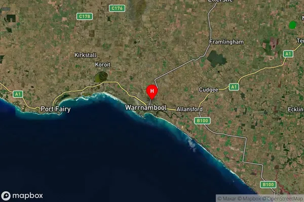
about 23.70 meters height above sea level (Altitude)Warrnambool Suburb Map (Satellite)

Distances
The distance from Warrnambool, Warrnambool and South West, VIC to AU Greater Capital CitiesSA1 Code 2011
21702143232SA1 Code 2016
21704147918SA2 Code
217041479SA3 Code
21704SA4 Code
217RA 2011
2RA 2016
2MMM 2015
3MMM 2019
3Charge Zone
V2LGA Region
WarrnamboolLGA Code
26730Electorate
Wannon