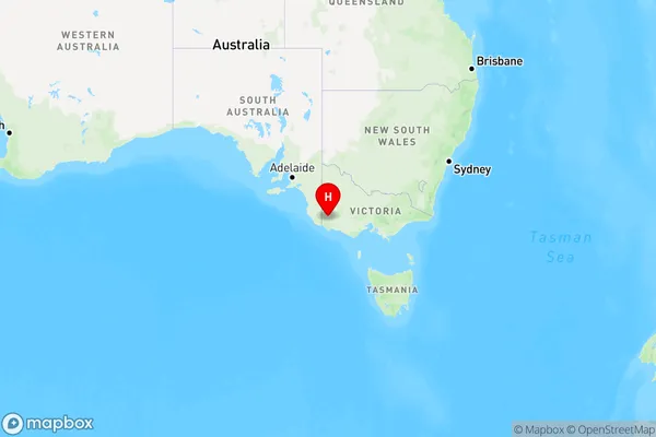
Sandford Area, Sandford Postcode(3312) & Map in Sandford, Warrnambool and South West, VIC
Sandford Area, Sandford Postcode(3312) & Map in Sandford, Warrnambool and South West, VIC, AU, Postcode: 3312
Sandford, Glenelg (Vic.), Glenelg - Southern Grampians, Warrnambool and South West, Victoria, Australia, 3312
Sandford Postcode
Area Name
SandfordSandford Suburb Area Map (Polygon)

Sandford Introduction
Sandford, Warrnambool and South West is a locality in Victoria, Australia. It is located in the City of Warrnambool local government area. The postcode for Sandford, Warrnambool and South West is 3214. As of 2016, the population of Sandford, Warrnambool and South West is 1,219. The suburb is named after Sir John Sandford, who was the Governor of Victoria from 1851 to 1855. It is located on the banks of the Warrnambool River and is home to a number of historic buildings, including the Sandford Pumping Station and the Warrnambool railway station.State Name
City or Big Region
District or Regional Area
Suburb Name
Sandford Region Map

Country
Main Region in AU
R3Coordinates
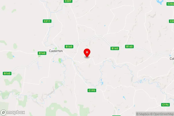
-37.5986077,141.4775662 (latitude/longitude)Sandford Area Map (Street)

Longitude
141.365747Latitude
-37.6391Sandford Elevation
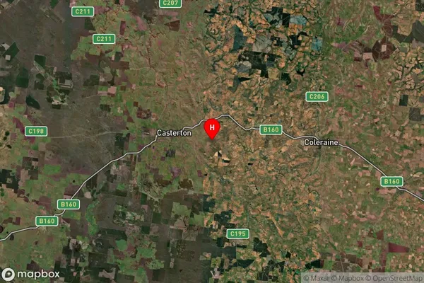
about 153.63 meters height above sea level (Altitude)Sandford Suburb Map (Satellite)

Distances
The distance from Sandford, Warrnambool and South West, VIC to AU Greater Capital CitiesSA1 Code 2011
21701142016SA1 Code 2016
21701142016SA2 Code
217011420SA3 Code
21701SA4 Code
217RA 2011
3RA 2016
3MMM 2015
5MMM 2019
5Charge Zone
V2LGA Region
GlenelgLGA Code
22410Electorate
Wannon