Miga Lake Area, Miga Lake Postcode(3401) & Map in Miga Lake, North West, VIC
Miga Lake Area, Miga Lake Postcode(3401) & Map in Miga Lake, North West, VIC, AU, Postcode: 3401
Miga Lake, West Wimmera, Grampians, North West, Victoria, Australia, 3401
Miga Lake Postcode
Area Name
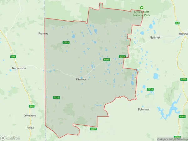
Miga LakeMiga Lake Suburb Area Map (Polygon)

Miga Lake Introduction
Miga Lake is a tranquil and picturesque lake located in the North West region of Victoria, Australia. It is surrounded by lush green forests and is a popular spot for fishing, boating, and camping. The lake is also home to a variety of bird species and is a protected area under the Victorian Government's Department of Environment, Land, Water, and Planning.State Name
City or Big Region
District or Regional Area
Suburb Name
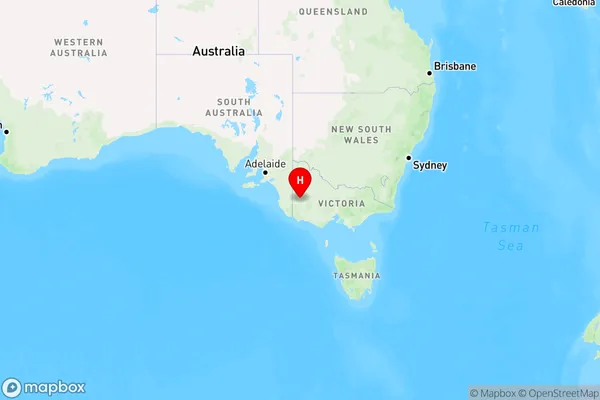
Miga Lake Region Map

Country
Main Region in AU
R3Coordinates
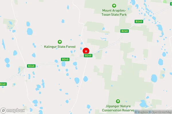
-36.88,141.647 (latitude/longitude)Miga Lake Area Map (Street)

Longitude
141.940832Latitude
-36.881534Miga Lake Elevation
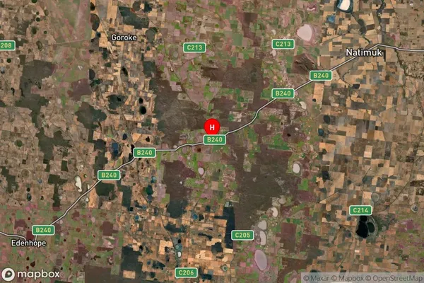
about 208.13 meters height above sea level (Altitude)Miga Lake Suburb Map (Satellite)

Distances
The distance from Miga Lake, North West, VIC to AU Greater Capital CitiesSA1 Code 2011
21501139304SA1 Code 2016
21501139304SA2 Code
215011393SA3 Code
21501SA4 Code
215RA 2011
3RA 2016
3MMM 2015
5MMM 2019
5Charge Zone
V2LGA Region
HorshamLGA Code
23190Electorate
Wannon