West Wimmera Suburbs & Region, West Wimmera Map & Postcodes
West Wimmera Suburbs & Region, West Wimmera Map & Postcodes in West Wimmera, Grampians, North West, VIC, AU
West Wimmera Region
Region Name
West Wimmera (VIC, AU)West Wimmera Area
5686 square kilometers (5,686 ㎢)Postal Codes
3312, from 3317 to 3319, 3401, 3409, 3412, and 3413 (In total, there are 8 postcodes in West Wimmera.)West Wimmera Introduction
West Wimmera is a locality in the North West region of Victoria, Australia. It is located in the Shire of Buloke, 126 km north-west of the state capital, Melbourne. The post office opened as Mount Pleasant on 1 November 1891 and was closed on 1 March 1974. The town was named after the Wimmera River. The West Wimmera Football Club was an Australian rules football club that competed in the Wimmera Football League from 1927 to 1998.Australia State
City or Big Region
Greater Capital City
Rest of Vic. (2RVIC)District or Regional Area
Suburb Name
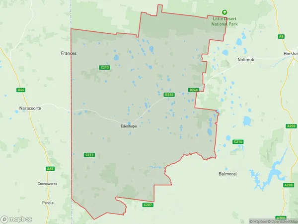
West Wimmera Region Map

West Wimmera Postcodes / Zip Codes
West Wimmera Suburbs
West Wimmera full address
West Wimmera, Grampians, North West, Victoria, VIC, Australia, SaCode: 215011393Country
West Wimmera, Grampians, North West, Victoria, VIC, Australia, SaCode: 215011393
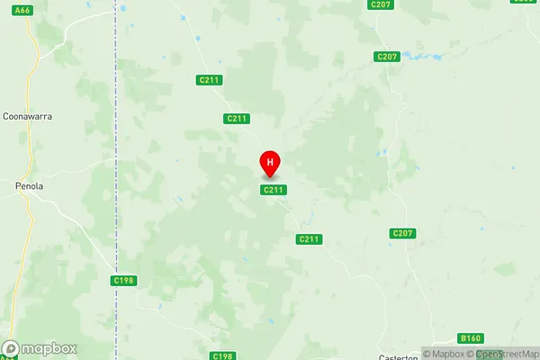
West Wimmera Suburbs & Region, West Wimmera Map & Postcodes has 0 areas or regions above, and there are 33 West Wimmera suburbs below. The sa2code for the West Wimmera region is 215011393. Its latitude and longitude coordinates are -37.3688,141.208. West Wimmera area belongs to Australia's greater capital city Rest of Vic..
West Wimmera Suburbs & Localities
1. Chetwynd
2. Dergholm
3. Dorodong
4. Poolaijelo
5. Powers Creek
6. Harrow
7. Charam
8. Connewirricoo
9. Edenhope
10. Jallakin
11. Kadnook
12. Langkoop
13. Meereek
14. Patyah
15. Ullswater
16. Apsley
17. Benayeo
18. Bringalbert
19. Douglas
20. Gymbowen
21. Karnak
22. Miga Lake
23. Mitre
24. Nurcoung
25. Wombelano
26. Douglas
27. Miga Lake
28. Wombelano
29. Goroke
30. Minimay
31. Neuarpurr
32. Ozenkadnook
33. Peronne
