Ullswater Area, Ullswater Postcode(3318) & Map in Ullswater, North West, VIC
Ullswater Area, Ullswater Postcode(3318) & Map in Ullswater, North West, VIC, AU, Postcode: 3318
Ullswater, West Wimmera, Grampians, North West, Victoria, Australia, 3318
Ullswater Postcode
Area Name
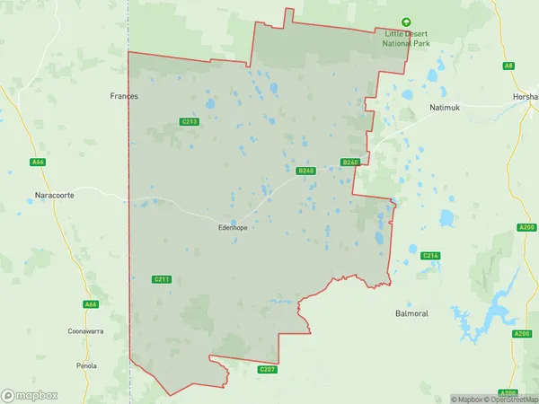
UllswaterUllswater Suburb Area Map (Polygon)

Ullswater Introduction
Ullswater is a small township in the North West region of Victoria, Australia. It is situated on the shores of Lake Victoria and is surrounded by stunning mountain scenery. The town is popular with tourists and outdoor enthusiasts, who enjoy activities such as hiking, fishing, and kayaking. The nearby Mount Buffalo National Park offers a range of hiking trails and scenic views. Ullswater is also home to a variety of wildlife, including kangaroos, wallabies, and echidnas.State Name
City or Big Region
District or Regional Area
Suburb Name
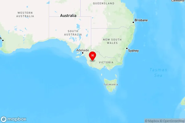
Ullswater Region Map

Country
Main Region in AU
R3Coordinates
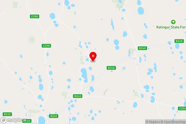
-36.9217721,141.4063546 (latitude/longitude)Ullswater Area Map (Street)

Longitude
141.269571Latitude
-37.025316Ullswater Elevation
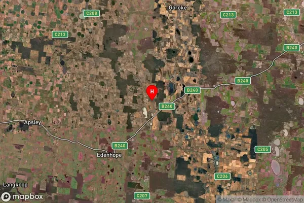
about 156.60 meters height above sea level (Altitude)Ullswater Suburb Map (Satellite)

Distances
The distance from Ullswater, North West, VIC to AU Greater Capital CitiesSA1 Code 2011
21501139305SA1 Code 2016
21501139305SA2 Code
215011393SA3 Code
21501SA4 Code
215RA 2011
3RA 2016
3MMM 2015
5MMM 2019
5Charge Zone
V2LGA Region
West WimmeraLGA Code
26890Electorate
Mallee