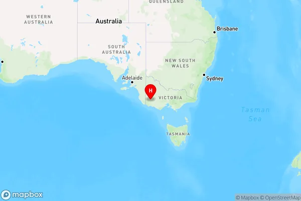
Melville Forest Area, Melville Forest Postcode(3315) & Map in Melville Forest, Warrnambool and South West, VIC
Melville Forest Area, Melville Forest Postcode(3315) & Map in Melville Forest, Warrnambool and South West, VIC, AU, Postcode: 3315
Melville Forest, Southern Grampians, Glenelg - Southern Grampians, Warrnambool and South West, Victoria, Australia, 3315
Melville Forest Postcode
Area Name
Melville ForestMelville Forest Suburb Area Map (Polygon)

Melville Forest Introduction
Melville Forest is a privately owned forest located in South West Victoria, Australia. It is situated between the towns of Warrnambool and Port Fairy and is known for its diverse range of plant and animal species. The forest is home to a variety of trees, including eucalyptus, oak, and pine, as well as a number of bird species, including the lyrebird and the kookaburra. The forest also has a number of walking trails and picnic areas, making it a popular destination for tourists and locals alike.State Name
City or Big Region
District or Regional Area
Suburb Name
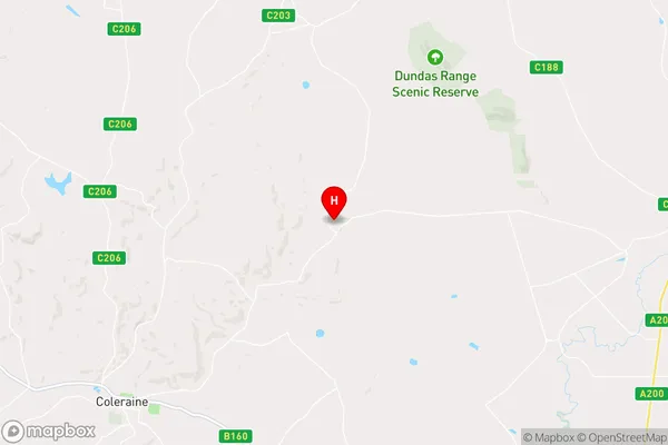
Melville Forest Region Map

Country
Main Region in AU
R3Coordinates
-37.5122161,141.8203693 (latitude/longitude)Melville Forest Area Map (Street)

Longitude
141.687516Latitude
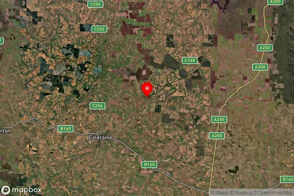
-37.408371Melville Forest Suburb Map (Satellite)

Distances
The distance from Melville Forest, Warrnambool and South West, VIC to AU Greater Capital CitiesSA1 Code 2011
21701142322SA1 Code 2016
21701142322SA2 Code
217011423SA3 Code
21701SA4 Code
217RA 2011
3RA 2016
3MMM 2015
5MMM 2019
5Charge Zone
V2LGA Region
Southern GrampiansLGA Code
26260Electorate
Wannon