Nangeela Area, Nangeela Postcode(3312) & Map in Nangeela, Warrnambool and South West, VIC
Nangeela Area, Nangeela Postcode(3312) & Map in Nangeela, Warrnambool and South West, VIC, AU, Postcode: 3312
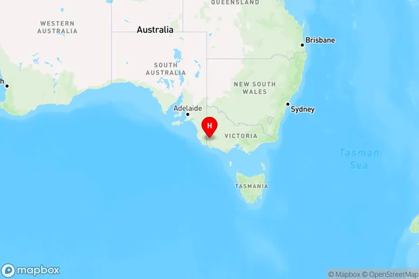
Nangeela, Glenelg (Vic.), Glenelg - Southern Grampians, Warrnambool and South West, Victoria, Australia, 3312
Nangeela Postcode
Area Name
NangeelaNangeela Suburb Area Map (Polygon)

Nangeela Introduction
Nangeela is a small township in the Warrnambool and South West region of Victoria, Australia. It is located in the City of Warrnambool local government area and is approximately 26 kilometers south-west of Warrnambool's central business district. The township has a population of around 1,200 people and is known for its agricultural industry, with many farms and wineries in the surrounding area.State Name
City or Big Region
District or Regional Area
Suburb Name
Nangeela Region Map
Country
Main Region in AU
R3Coordinates
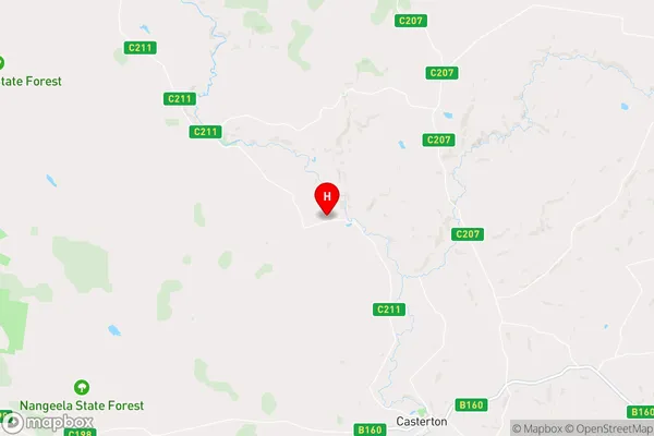
-37.48367,141.3440668 (latitude/longitude)Nangeela Area Map (Street)
Longitude
141.365747Latitude
-37.6391Nangeela Elevation
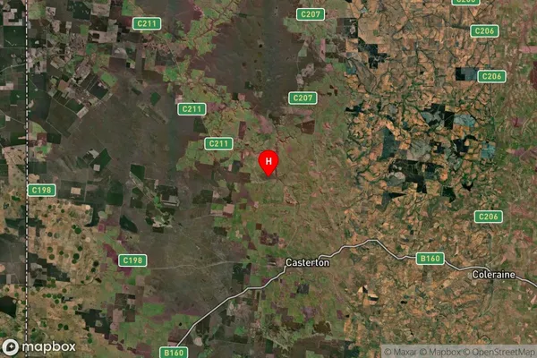
about 153.63 meters height above sea level (Altitude)Nangeela Suburb Map (Satellite)
Distances
The distance from Nangeela, Warrnambool and South West, VIC to AU Greater Capital CitiesSA1 Code 2011
21701142026SA1 Code 2016
21701142026SA2 Code
217011420SA3 Code
21701SA4 Code
217RA 2011
3RA 2016
3MMM 2015
5MMM 2019
5Charge Zone
V2LGA Region
GlenelgLGA Code
22410Electorate
Wannon