Horsham Region Suburbs & Region, Horsham Region Map & Postcodes
Horsham Region Suburbs & Region, Horsham Region Map & Postcodes in Horsham Region, Glenelg Southern Grampians, Warrnambool and South West, VIC, AU
Horsham Region Region
Region Name
Horsham Region (VIC, AU)Horsham Region Area
4251 square kilometers (4,251 ㎢)Postal Codes
3385, from 3399 to 3401, and 3409 (In total, there are 5 postcodes in Horsham Region.)Horsham Region Suburb Area Map (Polygon)

Horsham Region Introduction
Horsham Region, Warrnambool and South West, Victoria, AU, is a region located in the Western District of Victoria, Australia. It is known for its agricultural industry, including sheep farming, wheat farming, and dairy farming. The region is home to the cities of Horsham, Warrnambool, and Ballarat, as well as many smaller towns and villages. The region has a rich history and is home to many historic buildings and landmarks, including the Horsham Art Gallery and the Warrnambool Botanic Gardens. The region is also known for its natural beauty, with many parks and reserves, including the Grampians National Park and the Mount Jeffcott Conservation Reserve.Australia State
City or Big Region
Greater Capital City
Rest of Vic. (2RVIC)District or Regional Area
Suburb Name
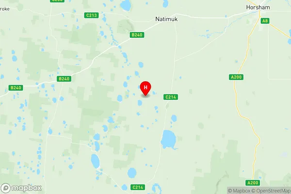
Horsham Region Region Map
Horsham Region Postcodes / Zip Codes
Horsham Region Suburbs
Horsham Region full address
Horsham Region, Glenelg Southern Grampians, Warrnambool and South West, Victoria, VIC, Australia, SaCode: 215011389Country
Horsham Region, Glenelg Southern Grampians, Warrnambool and South West, Victoria, VIC, Australia, SaCode: 215011389
Horsham Region Suburbs & Region, Horsham Region Map & Postcodes has 0 areas or regions above, and there are 47 Horsham Region suburbs below. The sa2code for the Horsham Region region is 215011389. Its latitude and longitude coordinates are -36.9182,141.883. Horsham Region area belongs to Australia's greater capital city Rest of Vic..
Horsham Region Suburbs & Localities
1. Brimpaen
2. Dahlen
3. Drung
4. Mckenzie Creek
5. Nurrabiel
6. Remlaw
7. Telangatuk East
8. Wartook
9. Arapiles
10. Grass Flat
11. Jilpanger
12. Natimuk
13. Dadswells Bridge
14. Longerenong
15. Clear Lake
16. Kalkee
17. Mockinya
18. Murra Warra
19. Tooan
20. Clear Lake
21. Brimpaen
22. Blackheath
23. Bungalally
24. Jilpanger
25. Jung
26. Longerenong
27. Pimpinio
28. Quantong
29. Rocklands
30. Toolondo
31. Vectis
32. Wail
33. Wonwondah
34. Duchembegarra
35. Noradjuha
36. Jung
37. St Helens Plains
38. Connangorach
39. Green Lake
40. Jallumba
41. Kanagulk
42. Laharum
43. Lower Norton
44. Noradjuha
45. St Helens Plains
46. Mitre
47. Tooan