Dutton Way Area, Dutton Way Postcode(3305) & Map in Dutton Way, Warrnambool and South West, VIC
Dutton Way Area, Dutton Way Postcode(3305) & Map in Dutton Way, Warrnambool and South West, VIC, AU, Postcode: 3305
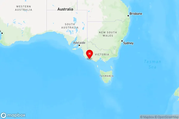
Dutton Way, Glenelg (Vic.), Glenelg - Southern Grampians, Warrnambool and South West, Victoria, Australia, 3305
Dutton Way Postcode
Area Name
Dutton WayDutton Way Suburb Area Map (Polygon)

Dutton Way Introduction
Dutton Way is a major road in Warrnambool and South West, Victoria, Australia. It is a primary route connecting the city to the Western District and the Great Ocean Road. The road is named after John Dutton, a local pioneer and businessman. It was constructed in the 1970s and has since been upgraded to accommodate increasing traffic. Dutton Way is known for its scenic views of the surrounding countryside and is a popular destination for tourists and locals alike.State Name
City or Big Region
District or Regional Area
Suburb Name
Dutton Way Region Map
Country
Main Region in AU
R3Coordinates
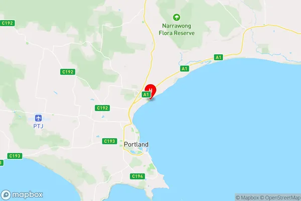
-38.2985847,141.6238774 (latitude/longitude)Dutton Way Area Map (Street)
Longitude
141.437227Latitude
-38.235475Dutton Way Elevation
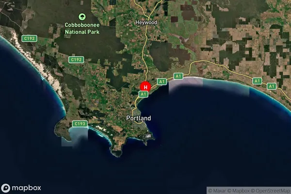
about 76.51 meters height above sea level (Altitude)Dutton Way Suburb Map (Satellite)
Distances
The distance from Dutton Way, Warrnambool and South West, VIC to AU Greater Capital CitiesSA1 Code 2011
21701142029SA1 Code 2016
21701142029SA2 Code
217011420SA3 Code
21701SA4 Code
217RA 2011
3RA 2016
3MMM 2015
4MMM 2019
4Charge Zone
V2LGA Region
GlenelgLGA Code
22410Electorate
Wannon