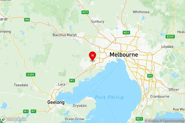
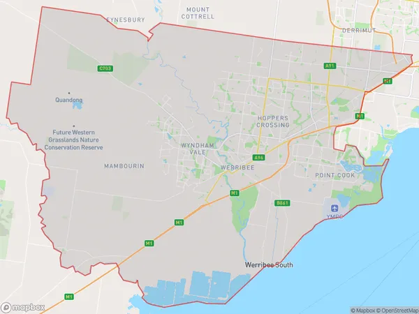
Wyndham Suburbs & Region, Wyndham Map & Postcodes
Wyndham Suburbs & Region, Wyndham Map & Postcodes in Wyndham, Melbourne West, VIC, AU
Wyndham Region
Region Name
Wyndham (VIC, AU)Wyndham Area
544.12 square kilometers (544.12 ㎢)Postal Codes
from 3024 to 3030, 3211, and 3338 (In total, there are 9 postcodes in Wyndham.)Wyndham Introduction
Wyndham is a suburb in Melbourne's west, located 10 kilometers from the city center. It is home to a variety of shops, restaurants, and parks and has a population of over 30,000 people. The suburb is well-connected to the rest of Melbourne via public transportation, with the West Gate Bridge and the Monash Freeway providing easy access. Wyndham also has a number of schools, including Wyndham College and Wyndham Secondary College, as well as a hospital and a variety of medical facilities. The suburb is known for its vibrant community and its many cultural attractions, including the Wyndham Cultural Centre and the Wyndham Park Golf Course.Australia State
City or Big Region
District or Regional Area
Wyndham Region Map

Wyndham Postcodes / Zip Codes
Wyndham Suburbs
Deer Park Derrimut
Altona Meadows
Altona North
Melton South
Hoppers Crossing North
Hoppers Crossing South
Werribee South
Wyndham Vale
Point Cook East
Point Cook South
Werribee East
Werribee West
Manor Lakes Quandong
Point Cook North East
Point Cook North West
Tarneit (West) Mount Cottrell
Tarneit Central
Tarneit North
Tarneit South
Truganina North
Truganina South East
Truganina South West
Wyndham Vale North
Wyndham Vale South
Wyndham full address
Wyndham, Melbourne West, Victoria, VIC, Australia, SaCode: 21305Country
Wyndham, Melbourne West, Victoria, VIC, Australia, SaCode: 21305
Wyndham Suburbs & Region, Wyndham Map & Postcodes has 28 areas or regions above, and there are 33 Wyndham suburbs below. The sa3code for the Wyndham region is 21305. Its latitude and longitude coordinates are -37.8629,144.685.
Wyndham Suburbs & Localities
1. Derrimut
2. Williams Raaf
3. Altona Meadows
4. Seabrook
5. Tarneit
6. Truganina
7. Cocoroc
8. Werribee South
9. Fieldstone
10. Altona East
11. Altona Gate
12. Altona North
13. Laverton Raaf
14. Williams Landing
15. Point Cook
16. Werribee
17. Little River
18. Manor Lakes
19. Laverton
20. Mambourin
21. Mount Cottrell
22. Wyndham Vale
23. Laverton North
24. Hoppers Crossing
25. Chartwell
26. Quandong
27. Brookfield
28. Melton South
29. Weir Views
30. Strathtulloh
31. Cobblebank
32. Exford
33. Eynesbury
