Werribee South Area, Werribee South Postcode(3030) & Map in Werribee South, Melbourne - West, VIC
Werribee South Area, Werribee South Postcode(3030) & Map in Werribee South, Melbourne - West, VIC, AU, Postcode: 3030
Werribee South, Werribee - South, Wyndham, Melbourne - West, Victoria, Australia, 3030
Werribee South Postcode
Area Name
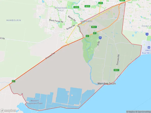
Werribee SouthWerribee South Suburb Area Map (Polygon)

Werribee South Introduction
Werribee South is a suburb in Melbourne's west, located 16 km from the CBD. It has a population of around 36,000 people and is known for its historic mansion, Werribee Park, and the Werribee Zoo. The suburb has a variety of housing options, including apartments, townhouses, and houses. It also has several shopping centers, including Werribee Plaza and Westfield Werribee. The area is well-serviced by public transportation, with buses and trains running regularly.State Name
City or Big Region
District or Regional Area
Suburb Name
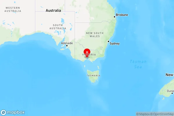
Werribee South Region Map

Country
Main Region in AU
R1Coordinates
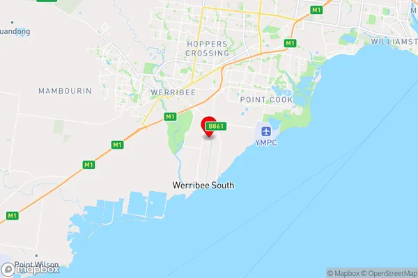
-37.937,144.697 (latitude/longitude)Werribee South Area Map (Street)

Longitude
144.64209Latitude
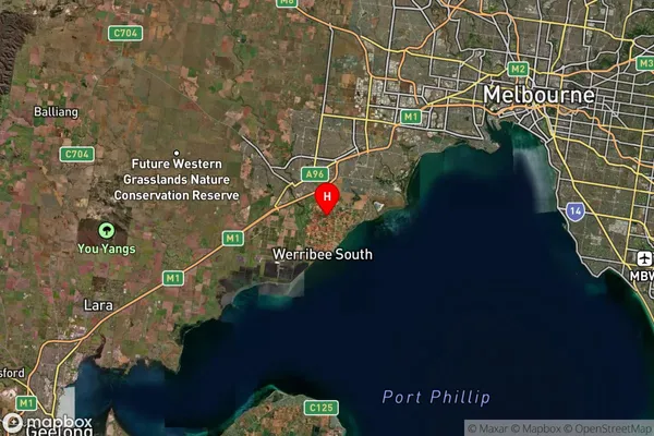
-37.91624Werribee South Suburb Map (Satellite)

Distances
The distance from Werribee South, Melbourne - West, VIC to AU Greater Capital CitiesSA1 Code 2011
21305136818SA1 Code 2016
21305136818SA2 Code
213051368SA3 Code
21305SA4 Code
213RA 2011
2RA 2016
2MMM 2015
2MMM 2019
2Charge Zone
V1LGA Region
WyndhamLGA Code
27260Electorate
Lalor