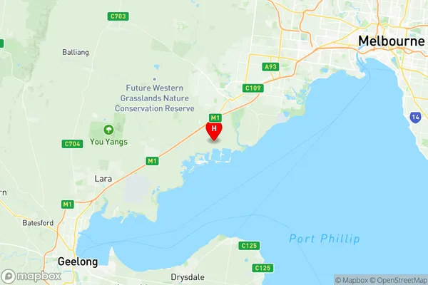
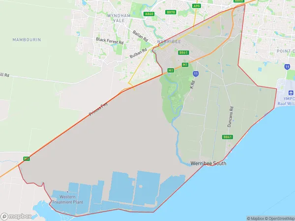
Werribee South Suburbs & Region, Werribee South Map & Postcodes
Werribee South Suburbs & Region, Werribee South Map & Postcodes in Werribee South, Wyndham, Melbourne West, VIC, AU
Werribee South Region
Region Name
Werribee South (VIC, AU)Werribee South Area
114.03 square kilometers (114.03 ㎢)Postal Codes
3030 (In total, there are 1 postcodes in Werribee South.)Werribee South Introduction
Werribee South is a suburb in Melbourne's west, located 16 km from Melbourne's central business district. It is represented by the Legislative Assembly of Victoria as the seat of Werribee. The suburb has a population of approximately 40,000 people and is known for its historic Werribee Mansion, Werribee Park, and Werribee Zoo. It also has a variety of shopping centers, including Werribee Plaza and Westfield Werribee. The suburb is surrounded by natural beauty, including the Werribee River and the Werribee Gorge. It is also home to a number of important cultural institutions, including the Werribee Art Gallery and the Werribee Historical Museum.Australia State
City or Big Region
Greater Capital City
Greater Melbourne (2GMEL)District or Regional Area
Suburb Name
Werribee South Region Map

Werribee South Postcodes / Zip Codes
Werribee South Suburbs
Werribee South full address
Werribee South, Wyndham, Melbourne West, Victoria, VIC, Australia, SaCode: 213051368Country
Werribee South, Wyndham, Melbourne West, Victoria, VIC, Australia, SaCode: 213051368
Werribee South Suburbs & Region, Werribee South Map & Postcodes has 0 areas or regions above, and there are 3 Werribee South suburbs below. The sa2code for the Werribee South region is 213051368. Its latitude and longitude coordinates are -37.9687,144.622. Werribee South area belongs to Australia's greater capital city Greater Melbourne.
Werribee South Suburbs & Localities
1. Cocoroc
2. Werribee South
3. Werribee
