Melbourne West Suburbs & Region, Melbourne West Map & Postcodes
Melbourne West Suburbs & Region, Melbourne West Map & Postcodes in Melbourne West, VIC, AU
Melbourne West Region
Region Name
Melbourne West (VIC, AU)Melbourne West Area
1416 square kilometers (1,416 ㎢)Postal Codes
from 3011 to 3013, 3015, 3016, from 3018 to 3030, 3032, 3033, from 3036 to 3038, 3207, 3211, 3335, 3337, 3338, 3340, 3341, 3427, 8438, and 8511 (In total, there are 33 postcodes in Melbourne West.)Melbourne West Introduction
Melbourne West is a suburb in Melbourne, Victoria, Australia, 8 km west of Melbourne's central business district (CBD). It is represented by the Legislative Assembly of Victoria as part of the electoral district of Footscray. The suburb was named after the Western Port, which was a major shipping outlet in the 19th century. It is home to a diverse population, with a mix of residential, commercial, and industrial areas. The suburb has several parks and recreational facilities, including the West Melbourne Cricket Ground and the Western Bulldogs Football Club. It is also well-connected to the rest of Melbourne via public transportation, with several bus and train lines serving the area.Australia State
City or Big Region
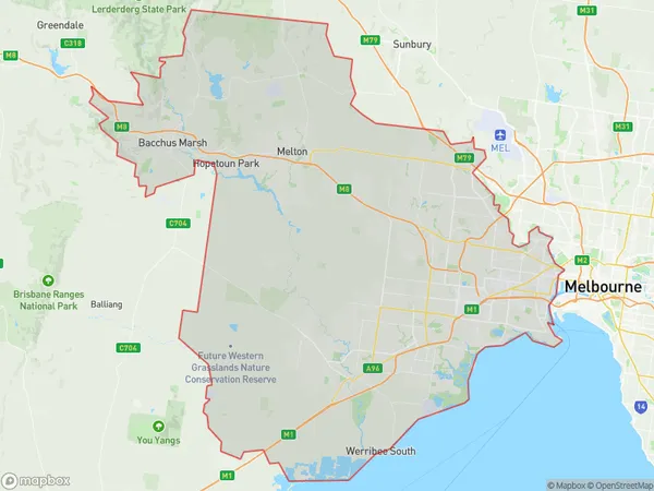
Melbourne West Region Map

Melbourne West Postcodes / Zip Codes
Melbourne West Suburbs
Hobsons Bay
Maribyrnong
Melton Bacchus Marsh
Melbourne West full address
Melbourne West, Victoria, VIC, Australia, SaCode: 213Country
Melbourne West, Victoria, VIC, Australia, SaCode: 213
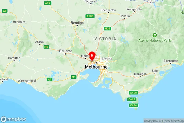
Melbourne West Suburbs & Region, Melbourne West Map & Postcodes has 5 areas or regions above, and there are 123 Melbourne West suburbs below. The sa4code for the Melbourne West region is 213. Its latitude and longitude coordinates are -37.7755,144.815.
Melbourne West Suburbs & Localities
1. Korobeit
2. Parwan
3. Little River
4. Ascot Vale
5. Garden City
6. Keilor East
7. Keilor
8. Plumpton
9. Ardeer
10. Albion
11. Cairnlea
12. Derrimut
13. Chartwell
14. Delahey
15. Kealba
16. Keilor Downs
17. Brooklyn
18. Altona
19. Altona Meadows
20. Altona East
21. Newport
22. Williamstown
23. Braybrook North
24. Footscray
25. Yarraville West
26. Bonnie Brook
27. Melton
28. Brookfield
29. Fieldstone
30. Hoppers Crossing
31. Laverton Raaf
32. Sunshine West
