Melton Area, Melton Postcode(3337) & Map in Melton, Melbourne - West, VIC
Melton Area, Melton Postcode(3337) & Map in Melton, Melbourne - West, VIC, AU, Postcode: 3337
Melton, Melton, Melton - Bacchus Marsh, Melbourne - West, Victoria, Australia, 3337
Melton Postcode
Area Name
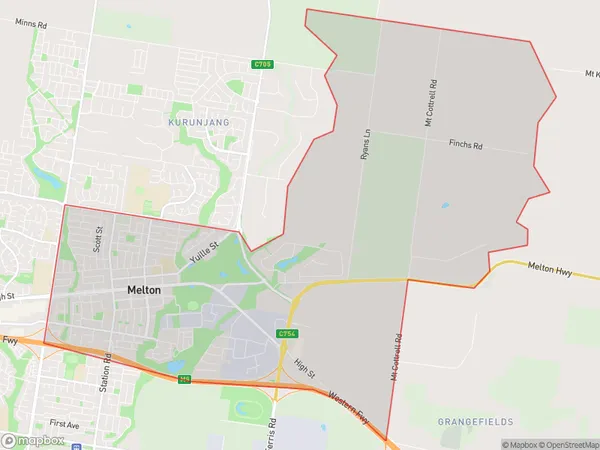
MeltonMelton Suburb Area Map (Polygon)

Melton Introduction
Melton is a suburb in Melbourne's west, 16 km from the CBD. It has a diverse population and is home to several significant industries, including manufacturing, agriculture, and healthcare. The suburb has several parks and recreational facilities, including the Melton Botanic Garden and the Melton Sports Complex. It is also known for its annual Melton Mardi Gras festival, which attracts thousands of visitors each year.State Name
City or Big Region
District or Regional Area
Suburb Name
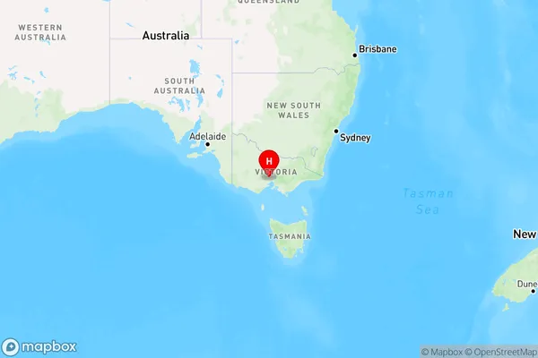
Melton Region Map

Country
Main Region in AU
R1Coordinates
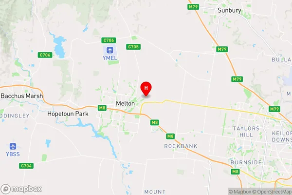
-37.677,144.612 (latitude/longitude)Melton Area Map (Street)

Longitude
144.571458Latitude
-37.656057Melton Elevation
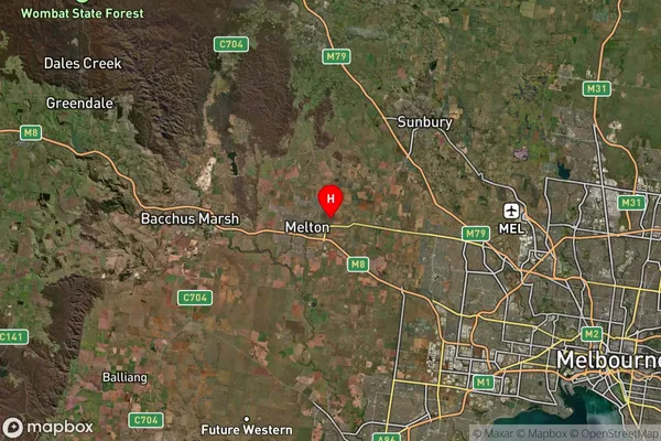
about 169.00 meters height above sea level (Altitude)Melton Suburb Map (Satellite)

Distances
The distance from Melton, Melbourne - West, VIC to AU Greater Capital CitiesSA1 Code 2011
21304135619SA1 Code 2016
21304135619SA2 Code
213041356SA3 Code
21304SA4 Code
213RA 2011
2RA 2016
1MMM 2015
2MMM 2019
1Charge Zone
V1LGA Region
MeltonLGA Code
24650Electorate
McEwen