Williamstown Area, Williamstown Postcode(3016) & Map in Williamstown, Melbourne - West, VIC
Williamstown Area, Williamstown Postcode(3016) & Map in Williamstown, Melbourne - West, VIC, AU, Postcode: 3016
Williamstown, Williamstown, Hobsons Bay, Melbourne - West, Victoria, Australia, 3016
Williamstown Postcode
Area Name
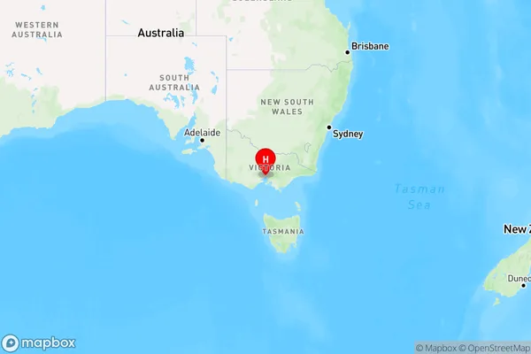
WilliamstownWilliamstown Suburb Area Map (Polygon)

Williamstown Introduction
Williamstown is a suburb of Melbourne, located 8 km west of the CBD. It is known for its historic architecture, including the Williamstown Pier and the Williamstown railway station. The suburb has a diverse population and is home to a number of cultural institutions, including the Williamstown Arts Centre and the Williamstown Botanic Gardens. It is also a popular destination for tourists, with many visitors enjoying the beaches and recreational facilities in the area.State Name
City or Big Region
District or Regional Area
Suburb Name
Williamstown Region Map

Country
Main Region in AU
R1Coordinates
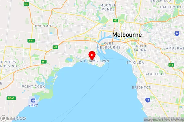
-37.861,144.885 (latitude/longitude)Williamstown Area Map (Street)

Longitude
144.888461Latitude
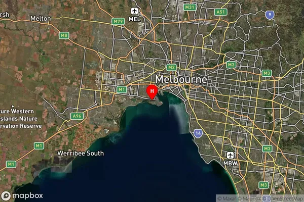
-37.863743Williamstown Suburb Map (Satellite)

Distances
The distance from Williamstown, Melbourne - West, VIC to AU Greater Capital CitiesSA1 Code 2011
21302134622SA1 Code 2016
21302134622SA2 Code
213021346SA3 Code
21302SA4 Code
213RA 2011
1RA 2016
1MMM 2015
1MMM 2019
1Charge Zone
V1LGA Region
Hobsons BayLGA Code
23110Electorate
Gellibrand