Williamstown Suburbs & Region, Williamstown Map & Postcodes
Williamstown Suburbs & Region, Williamstown Map & Postcodes in Williamstown, Hobsons Bay, Melbourne West, VIC, AU
Williamstown Region
Region Name
Williamstown (VIC, AU)Williamstown Area
7.35 square kilometers (7.35 ㎢)Postal Codes
3016 (In total, there are 1 postcodes in Williamstown.)Williamstown Introduction
Williamstown is a suburb of Melbourne, Victoria, Australia. It is located 8 km west of Melbourne's central business district and is part of the City of Hobsons Bay. The suburb has a population of around 100,000 people and is known for its historic architecture, including the Williamstown Pier and the Williamstown railway station. It is also home to a number of cultural institutions, including the Williamstown Arts Centre and the Williamstown Botanic Gardens. Williamstown is a popular destination for tourists and locals alike, with its many restaurants, cafes, and shopping precincts. It is also home to a number of parks and recreational facilities, including the Williamstown Football Club and the Williamstown Leisure Centre.Australia State
City or Big Region
Greater Capital City
Greater Melbourne (2GMEL)District or Regional Area
Suburb Name
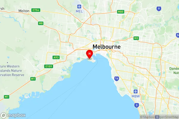
Williamstown Region Map

Williamstown Postcodes / Zip Codes
Williamstown Suburbs
Williamstown full address
Williamstown, Hobsons Bay, Melbourne West, Victoria, VIC, Australia, SaCode: 213021346Country
Williamstown, Hobsons Bay, Melbourne West, Victoria, VIC, Australia, SaCode: 213021346
Williamstown Suburbs & Region, Williamstown Map & Postcodes has 0 areas or regions above, and there are 2 Williamstown suburbs below. The sa2code for the Williamstown region is 213021346. Its latitude and longitude coordinates are -37.861,144.885. Williamstown area belongs to Australia's greater capital city Greater Melbourne.
Williamstown Suburbs & Localities
1. Williamstown
2. Williamstown North
