Williamstown North Area, Williamstown North Postcode(3016) & Map in Williamstown North, Melbourne - West, VIC
Williamstown North Area, Williamstown North Postcode(3016) & Map in Williamstown North, Melbourne - West, VIC, AU, Postcode: 3016
Williamstown North, Williamstown, Hobsons Bay, Melbourne - West, Victoria, Australia, 3016
Williamstown North Postcode
Area Name
Williamstown NorthWilliamstown North Suburb Area Map (Polygon)

Williamstown North Introduction
Williamstown North is a suburb in Melbourne's west, located 7 km from the CBD. It has a rich maritime history and is home to the Williamstown Seaport. The suburb has a variety of housing styles, including apartments, units, and houses. It has several parks and recreational facilities, including the Williamstown Football Club and the Williamstown Botanical Gardens. The area is well-connected to public transport, with several bus routes and the Williamstown railway station.State Name
City or Big Region
District or Regional Area
Suburb Name
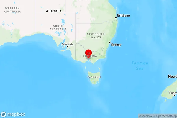
Williamstown North Region Map

Country
Main Region in AU
R1Coordinates
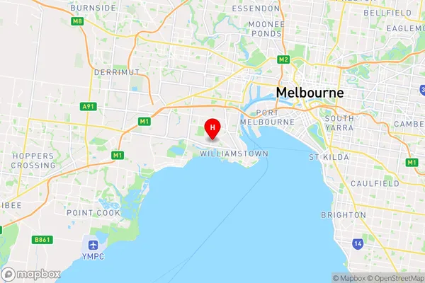
-37.8517597,144.8689963 (latitude/longitude)Williamstown North Area Map (Street)

Longitude
144.888461Latitude
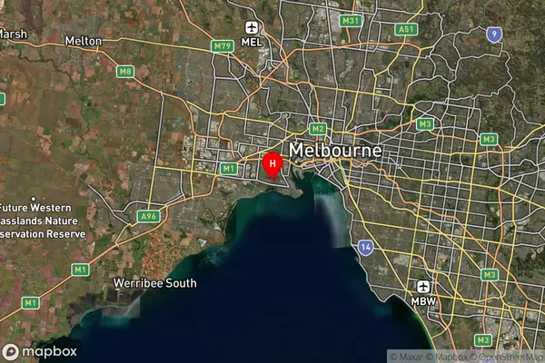
-37.863743Williamstown North Suburb Map (Satellite)

Distances
The distance from Williamstown North, Melbourne - West, VIC to AU Greater Capital CitiesSA1 Code 2011
21302134625SA1 Code 2016
21302134625SA2 Code
213021346SA3 Code
21302SA4 Code
213RA 2011
1RA 2016
1MMM 2015
1MMM 2019
1Charge Zone
V1LGA Region
Hobsons BayLGA Code
23110Electorate
Gellibrand